Caetité geodata
Caetité (Bahia) is a populated place; located in Brazil in America/Bahia (GMT-3) time zone. With population of 27,187 people, there are 727 cities with bigger population in this country. Compared to other cities in Brazil, 58.2% of cities are located further ↓South; 63.7% of cities are located further ←West and 90.2% of cities have lower elevation than Caetité. Note1


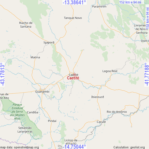
Caetité GPS coordinates[2]
14° 4' 9.984" South, 42° 28' 30" West
| Map corner | latitude | longitude |
|---|---|---|
| Upper-left | -13.38641°, | -43.17813° |
| Center: | -14.06944°, | -42.475° |
| Lower-right: | -14.75044°, | -41.77188° |
| Map W x H: | 151.7×151.7 km | = 94.3×94.3mi |
| max Lat: | 2.81972° ⇑41.8% North |
| Caetité: | -14.06944° |
| min Lat: | ⇓58.2% South -33.69111° |
| min Long | Caetité | max Long |
| -72.89583° | -42.475° | -32.41083° |
| W 63.7%⇐ | ⇒36.3% E |
Elevation
Elevation of Caetité is 818 m = 2684 ft, and this is 437.1 m = 1434 ft above average elevation for this country.
| Max E: |
1603 m = 5259 ft | 9.8% |
| Caetité | 818 m 2684 ft | |
| Avg. | 380.9 m = 1250 ft | |
Min E: |
0 m = 0 ft | 90.2% |
See also: Brazil elevation on elevation.city.
Geographical zone
Caetité is located in South Torrid zone (between Equator and Tropic of Capricorn). Distance of this Southern Tropic circle is 1041.5 km =647.2 mi to South.| Distance of | km | miles | from Caetité |
|---|---|---|---|
| Equator | 1564.4 | 972.1 | to North |
| Tropic Capricorn | 1041.5 | 647.2 | to South |
| Antarctic Circle | 5836.8 | 3626.8 | to South |
| South Pole | 8442.7 | 5246 | to South |


Nearby cities:
15 places around Caetité: (largest is in red/bold)
• Barra da Estiva
133.4 km =82.9 mi,  68°
68°
• Bom Jesus da Lapa
136.3 km =84.7 mi,  311°
311°
• Brumado
88.6 km =55.1 mi,  99°
99°
• Caculé
55.4 km =34.4 mi,  150°
150°
• Espinosa
102.2 km =63.5 mi,  201°
201°
• Guanambi
37.2 km =23.1 mi,  242°
242°
• Ituaçu
130.3 km =81 mi,  77°
77°
• Livramento do Brumado
82.3 km =51.1 mi,  55°
55°
• Macaúbas
119.2 km =74.1 mi,  348°
348°
• Monte Azul
128.1 km =79.6 mi, 199°
• Palmas de Monte Alto
77.3 km =48 mi,  253°
253°
• Paramirim
74.2 km =46.1 mi,  20°
20°
• Riacho de Santana
71.6 km =44.5 mi,  315°
315°
• Santana
85.1 km =52.9 mi,  121°
121°
• Tanhaçu
132.5 km =82.3 mi,  87°
87°
Sources, notices
• [Note1] Compared only with cities in Brazil existing in our database
• [Src1] Map data: © OpenStreetMap contributors (CC-BY-SA)
• [Src2] Other city data from geonames.org with taken over terms of usage.
• [Src3] Geographical zone / Annual Mean Temperature by Robert A. Rohde @ Wikipedia
