Beaverlodge geodata
Beaverlodge (Alberta) is a populated place; located in Canada in America/Edmonton (GMT-6) time zone. With population of 2,219 people, there are 714 cities with bigger population in this country. Compared to other cities in Canada, 95.7% of cities are located further ↓South; 88.2% of cities are located further →East and 93.1% of cities have lower elevation than Beaverlodge. Note1


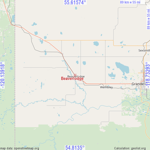
Beaverlodge GPS coordinates[2]
55° 12' 59.904" North, 119° 26' 9.78" West
| Map corner | latitude | longitude |
|---|---|---|
| Upper-left | 55.61574°, | -120.13918° |
| Center: | 55.21664°, | -119.43605° |
| Lower-right: | 54.8135°, | -118.73293° |
| Map W x H: | 89.2×89.2 km | = 55.4×55.4mi |
| max Lat: | 73.03752° ⇑4.3% North |
| Beaverlodge: | 55.21664° |
| min Lat: | ⇓95.7% South 42.05009° |
| min Long | Beaverlodge | max Long |
| -139.43328° | -119.43605° | -52.70931° |
| W 11.8%⇐ | ⇒88.2% E |
Elevation
Elevation of Beaverlodge is 723 m = 2372 ft, and this is 468.6 m = 1537 ft above average elevation for this country.
| Max E: |
1518 m = 4980 ft | 6.9% |
| Beaverlodge | 723 m 2372 ft | |
| Avg. | 254.4 m = 835 ft | |
Min E: |
-2 m = -7 ft | 93.1% |
See also: Canada elevation on elevation.city.
Geographical zone
Beaverlodge is located in North temperate zone (between Tropic of Cancer and the Arctic Circle). Distance of this North polar circle is 1261.7 km =784 mi to North.| Distance of | km | miles | from Beaverlodge |
|---|---|---|---|
| North Pole | 3867.5 | 2403.2 | to North |
| Arctic Circle | 1261.7 | 784 | to North |
| Tropic Cancer | 3533.6 | 2195.7 | to South |
| Equator | 6139.5 | 3814.9 | to South |


Nearby cities:
15 places around Beaverlodge: (largest is in red/bold)
• Chetwynd
148.7 km =92.4 mi,  291°
291°
• Dawson Creek
78.8 km =49 mi,  320°
320°
• Fairview
115.2 km =71.6 mi,  34°
34°
• Falher
152 km =94.4 mi,  67°
67°
• Fort St. John
145.1 km =90.2 mi, 322°
• Grand Haven
145.5 km =90.4 mi, 320°
• Grande Cache
149.5 km =92.9 mi,  172°
172°
• Grande Prairie
40.6 km =25.2 mi,  97°
97°
• Sexsmith
43.8 km =27.2 mi, 70°
• Spirit River
73.5 km =45.7 mi, 30°
• Tumbler Ridge
99.4 km =61.8 mi,  264°
264°
• Valleyview
137.7 km =85.6 mi, 96°
• Wedgewood
43.4 km =27 mi, 103°
• Wembley
20.4 km =12.7 mi,  111°
111°
• Westlake
40.1 km =24.9 mi,  89°
89°
Sources, notices
• [Note1] Compared only with cities in Canada existing in our database
• [Src1] Map data: © OpenStreetMap contributors (CC-BY-SA)
• [Src2] Other city data from geonames.org with taken over terms of usage.
• [Src3] Geographical zone / Annual Mean Temperature by Robert A. Rohde @ Wikipedia
