Chetwynd geodata
Chetwynd (British Columbia) is a populated place; located in Canada in America/Dawson_Creek (GMT-7) time zone. With population of 2,587 people, there are 662 cities with bigger population in this country. Compared to other cities in Canada, 96.4% of cities are located further ↓South; 90.3% of cities are located further →East and 89% of cities have lower elevation than Chetwynd. Note1
Administrative division(s):
- Level 1: British Columbia
- Level 2: Peace River Regional District
- Level 3: Chetwynd


Chetwynd GPS coordinates[2]
55° 41' 59.568" North, 121° 38' 10.572" West
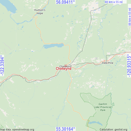
| Map corner | latitude | longitude |
|---|---|---|
| Upper-left | 56.09411°, | -122.3394° |
| Center: | 55.69988°, | -121.63627° |
| Lower-right: | 55.30164°, | -120.93315° |
| Map W x H: | 88.1×88.1 km | = 54.7×54.7mi |
| max Lat: | 73.03752° ⇑3.6% North |
| Chetwynd: | 55.69988° |
| min Lat: | ⇓96.4% South 42.05009° |
| min Long | Chetwynd | max Long |
| -139.43328° | -121.63627° | -52.70931° |
| W 9.7%⇐ | ⇒90.3% E |
Elevation
Elevation of Chetwynd is 653 m = 2142 ft, and this is 398.6 m = 1308 ft above average elevation for this country.
| Max E: |
1518 m = 4980 ft | 11% |
| Chetwynd | 653 m 2142 ft | |
| Avg. | 254.4 m = 835 ft | |
Min E: |
-2 m = -7 ft | 89% |
See also: Canada elevation on elevation.city.
Geographical zone
Chetwynd is located in North temperate zone (between Tropic of Cancer and the Arctic Circle). Distance of this North polar circle is 1207.9 km =750.6 mi to North.| Distance of | km | miles | from Chetwynd |
|---|---|---|---|
| North Pole | 3813.8 | 2369.8 | to North |
| Arctic Circle | 1207.9 | 750.6 | to North |
| Tropic Cancer | 3587.3 | 2229 | to South |
| Equator | 6193.2 | 3848.3 | to South |


Nearby cities:
15 places around Chetwynd: (largest is in red/bold)
• Beaverlodge
148.7 km =92.4 mi,  111°
111°
• Dawson Creek
87.7 km =54.5 mi,  85°
85°
• Fairview
206.7 km =128.4 mi,  78°
78°
• Fort St. John
78.2 km =48.6 mi,  38°
38°
• Grand Haven
74.9 km =46.5 mi, 37°
• Grande Prairie
188.3 km =117 mi, 108°
• Mackenzie
100.3 km =62.3 mi,  246°
246°
• Prince George
210.8 km =131 mi,  199°
199°
• Sexsmith
183.5 km =114 mi,  102°
102°
• Spirit River
175.5 km =109.1 mi, 86°
• Tumbler Ridge
75.2 km =46.7 mi,  147°
147°
• Vanderhoof
241.4 km =150 mi,  219°
219°
• Wedgewood
191.8 km =119.2 mi, 109°
• Wembley
169.2 km =105.1 mi, 111°
• Westlake
186.3 km =115.8 mi, 106°
Sources, notices
• [Note1] Compared only with cities in Canada existing in our database
• [Src1] Map data: © OpenStreetMap contributors (CC-BY-SA)
• [Src2] Other city data from geonames.org with taken over terms of usage.
• [Src3] Geographical zone / Annual Mean Temperature by Robert A. Rohde @ Wikipedia
