Loandjili geodata
Loandjili (Pointe-Noire) is a populated place; located in Republic of the Congo in Africa/Brazzaville (GMT+1) time zone. With population of 23,204 people, there are 6 cities with bigger population in this country. Compared to other cities in Republic of the Congo, 94.7% of cities are located further ↑North; 94.7% of cities are located further →East and 100% of cities have higher elevation than Loandjili. Note1


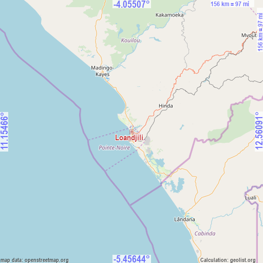
Loandjili GPS coordinates[2]
4° 45' 21.996" South, 11° 51' 28.008" East
| Map corner | latitude | longitude |
|---|---|---|
| Upper-left | -4.05507°, | 11.15466° |
| Center: | -4.75611°, | 11.85778° |
| Lower-right: | -5.45644°, | 12.56091° |
| Map W x H: | 155.8×155.8 km | = 96.8×96.8mi |
| max Lat: | 1.64806° ⇑94.7% North |
| Loandjili: | -4.75611° |
| min Lat: | ⇓5.3% South -4.77609° |
| min Long | Loandjili | max Long |
| 11.8125° | 11.85778° | 18.05981° |
| W 5.3%⇐ | ⇒94.7% E |
Elevation
Elevation of Loandjili is 7 m = 23 ft, and this is 312 m = 1024 ft below average elevation for this country.
| Max E: |
790 m = 2592 ft | 100% |
| Avg. | 319 m = 1047 ft | |
| Loandjili | 7 m = 23 ft | |
Min E: |
7 m = 23 ft | 0% |
See also: Republic of the Congo elevation on elevation.city.
Geographical zone
Loandjili is located in South Torrid zone (between Equator and Tropic of Capricorn). Distance of Equator is 528.8 km =328.6 mi to North.| Distance of | km | miles | from Loandjili |
|---|---|---|---|
| Equator | 528.8 | 328.6 | to North |
| Tropic Capricorn | 2077.1 | 1290.6 | to South |
| Antarctic Circle | 6872.3 | 4270.2 | to South |
| South Pole | 9478.2 | 5889.5 | to South |


Nearby cities:
12 places around Loandjili: (largest is in red/bold)
• Boukiéro
384.9 km =239.2 mi,  80°
80°
• Brazzaville
383.6 km =238.4 mi, 81°
• Djambala
404.6 km =251.4 mi,  52°
52°
• Dolisie
109 km =67.7 mi,  55°
55°
• Kayes
169.8 km =105.5 mi,  68°
68°
• Kinkala
325.1 km =202 mi, 82°
• Loango
12.6 km =7.8 mi,  336°
336°
• Madingou
199.2 km =123.8 mi, 70°
• Mossendjo
221.7 km =137.8 mi,  25°
25°
• Nkayi
170.6 km =106 mi, 68°
• Pointe-Noire
2.3 km =1.4 mi,  164°
164°
• Sibiti
204.1 km =126.8 mi, 54°
Sources, notices
• [Note1] Compared only with cities in Republic of the Congo existing in our database
• [Src1] Map data: © OpenStreetMap contributors (CC-BY-SA)
• [Src2] Other city data from geonames.org with taken over terms of usage.
• [Src3] Geographical zone / Annual Mean Temperature by Robert A. Rohde @ Wikipedia
