Xianshui geodata
Xianshui (Sichuan) is a seat of a third-order administrative division; located in China in Asia/Shanghai (GMT+8) time zone. In our database, there are 1268 cities with bigger population. Compared to other cities in China, 54.7% of cities are located further ↓South; 93.7% of cities are located further →East and 97.3% of cities have lower elevation than Xianshui. Note1


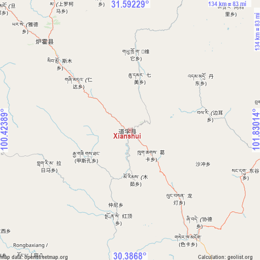
Xianshui GPS coordinates[2]
30° 59' 29.22" North, 101° 7' 37.236" East
| Map corner | latitude | longitude |
|---|---|---|
| Upper-left | 31.59229°, | 100.42389° |
| Center: | 30.99145°, | 101.12701° |
| Lower-right: | 30.3868°, | 101.83014° |
| Map W x H: | 134×134 km | = 83.3×83.3mi |
| max Lat: | 53.31946° ⇑45.3% North |
| Xianshui: | 30.99145° |
| min Lat: | ⇓54.7% South 18.22056° |
| min Long | Xianshui | max Long |
| 75.07348° | 101.12701° | 134.28917° |
| W 6.3%⇐ | ⇒93.7% E |
Elevation
Elevation of Xianshui is 3243 m = 10640 ft, and this is 2758.2 m = 9049 ft above average elevation for this country.
| Max E: |
5622 m = 18445 ft | 2.7% |
| Xianshui | 3243 m 10640 ft | |
| Avg. | 484.8 m = 1591 ft | |
Min E: |
-3 m = -10 ft | 97.3% |
See also: China elevation on elevation.city.
Geographical zone
Xianshui is located in North temperate zone (between Tropic of Cancer and the Arctic Circle). Distance of this Northern Tropic circle is 840 km =522 mi to South.| Distance of | km | miles | from Xianshui |
|---|---|---|---|
| North Pole | 6561.1 | 4076.9 | to North |
| Arctic Circle | 3955.2 | 2457.6 | to North |
| Tropic Cancer | 840 | 522 | to South |
| Equator | 3445.9 | 2141.2 | to South |


Nearby cities:
15 places around Xianshui: (largest is in red/bold)
• Barkam
144.9 km =90 mi,  45°
45°
• Ganzi
128.8 km =80 mi,  303°
303°
• Gaocheng
138.6 km =86.1 mi,  216°
216°
• Jinchuan
103.7 km =64.4 mi,  58°
58°
• Kangding
135.7 km =84.3 mi,  144°
144°
• Kehe
179.7 km =111.7 mi,  7°
7°
• Kuasha
184.3 km =114.5 mi, 11°
• Luqiao
158.3 km =98.4 mi, 138°
• Meixing
117.5 km =73 mi,  89°
89°
• Muping
175.3 km =108.9 mi,  113°
113°
• Rong’an
176.7 km =109.8 mi, 14°
• Rulong
78 km =48.5 mi,  265°
265°
• Seke
160.9 km =100 mi,  332°
332°
• Xindou
62 km =38.5 mi,  316°
316°
• Zhanggu
73.9 km =45.9 mi,  100°
100°
Sources, notices
• [Note1] Compared only with cities in China existing in our database
• [Src1] Map data: © OpenStreetMap contributors (CC-BY-SA)
• [Src2] Other city data from geonames.org with taken over terms of usage.
• [Src3] Geographical zone / Annual Mean Temperature by Robert A. Rohde @ Wikipedia
