Yancheng geodata
Yancheng (Shandong) is a seat of a third-order administrative division; located in China in Asia/Shanghai (GMT+8) time zone. In our database, there are 1268 cities with bigger population. Compared to other cities in China, 78.7% of cities are located further ↓South; 64.6% of cities are located further ←West and 79.8% of cities have higher elevation than Yancheng. Note1


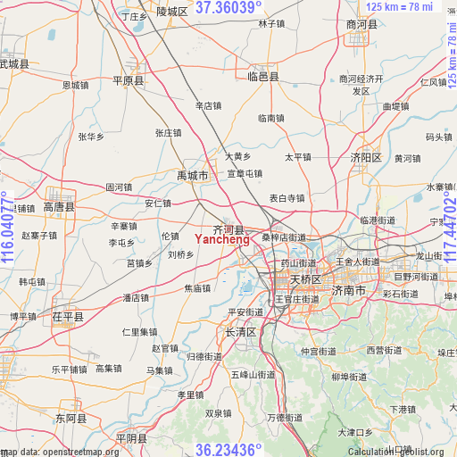
Yancheng GPS coordinates[2]
36° 47' 57.984" North, 116° 44' 38.004" East
| Map corner | latitude | longitude |
|---|---|---|
| Upper-left | 37.36039°, | 116.04077° |
| Center: | 36.79944°, | 116.74389° |
| Lower-right: | 36.23436°, | 117.44702° |
| Map W x H: | 125.2×125.2 km | = 77.8×77.8mi |
| max Lat: | 53.31946° ⇑21.3% North |
| Yancheng: | 36.79944° |
| min Lat: | ⇓78.7% South 18.22056° |
| min Long | Yancheng | max Long |
| 75.07348° | 116.74389° | 134.28917° |
| W 64.6%⇐ | ⇒35.4% E |
Elevation
Elevation of Yancheng is 27 m = 89 ft, and this is 457.8 m = 1502 ft below average elevation for this country.
| Max E: |
5622 m = 18445 ft | 79.8% |
| Avg. | 484.8 m = 1591 ft | |
| Yancheng | 27 m = 89 ft | |
Min E: |
-3 m = -10 ft | 20.2% |
See also: China elevation on elevation.city.
Geographical zone
Yancheng is located in North temperate zone (between Tropic of Cancer and the Arctic Circle). Distance of this Northern Tropic circle is 1485.8 km =923.2 mi to South.| Distance of | km | miles | from Yancheng |
|---|---|---|---|
| North Pole | 5915.3 | 3675.6 | to North |
| Arctic Circle | 3309.5 | 2056.4 | to North |
| Tropic Cancer | 1485.8 | 923.2 | to South |
| Equator | 4091.7 | 2542.5 | to South |


Nearby cities:
15 places around Yancheng: (largest is in red/bold)
• Changqing
26.9 km =16.7 mi,  183°
183°
• Dezhou
82 km =51 mi,  332°
332°
• Feicheng
61.3 km =38.1 mi, 178°
• Gulou
80 km =49.7 mi,  240°
240°
• Jiamaying
83.9 km =52.1 mi,  302°
302°
• Jinan
26.9 km =16.7 mi,  122°
122°
• Laocheng
85.1 km =52.9 mi, 296°
• Liaocheng
78.3 km =48.7 mi, 240°
• Lingcheng
61.1 km =38 mi,  345°
345°
• Mingshui
68 km =42.3 mi,  97°
97°
• Nancheng
68.4 km =42.5 mi,  284°
284°
• Pingyin
63.3 km =39.3 mi,  204°
204°
• Tai’an
76.1 km =47.3 mi,  153°
153°
• Xiliguantun
77.8 km =48.3 mi,  293°
293°
• Xinhu
82.1 km =51 mi, 331°
Sources, notices
• [Note1] Compared only with cities in China existing in our database
• [Src1] Map data: © OpenStreetMap contributors (CC-BY-SA)
• [Src2] Other city data from geonames.org with taken over terms of usage.
• [Src3] Geographical zone / Annual Mean Temperature by Robert A. Rohde @ Wikipedia
