Xidu geodata
Xidu (Hunan) is a seat of a third-order administrative division; located in China in Asia/Shanghai (GMT+8) time zone. In our database, there are 1268 cities with bigger population. Compared to other cities in China, 78.8% of cities are located further ↑North; 60.8% of cities are located further →East and 66.4% of cities have higher elevation than Xidu. Note1


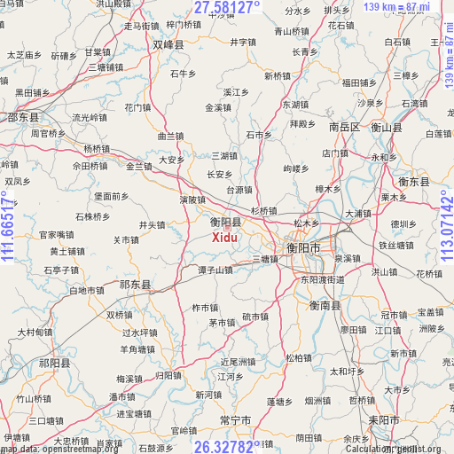
Xidu GPS coordinates[2]
26° 57' 22.644" North, 112° 22' 5.844" East
| Map corner | latitude | longitude |
|---|---|---|
| Upper-left | 27.58127°, | 111.66517° |
| Center: | 26.95629°, | 112.36829° |
| Lower-right: | 26.32782°, | 113.07142° |
| Map W x H: | 139.4×139.4 km | = 86.6×86.6mi |
| max Lat: | 53.31946° ⇑78.8% North |
| Xidu: | 26.95629° |
| min Lat: | ⇓21.2% South 18.22056° |
| min Long | Xidu | max Long |
| 75.07348° | 112.36829° | 134.28917° |
| W 39.2%⇐ | ⇒60.8% E |
Elevation
Elevation of Xidu is 67 m = 220 ft, and this is 417.8 m = 1371 ft below average elevation for this country.
| Max E: |
5622 m = 18445 ft | 66.4% |
| Avg. | 484.8 m = 1591 ft | |
| Xidu | 67 m = 220 ft | |
Min E: |
-3 m = -10 ft | 33.6% |
See also: China elevation on elevation.city.
Geographical zone
Xidu is located in North temperate zone (between Tropic of Cancer and the Arctic Circle). Distance of this Northern Tropic circle is 391.3 km =243.1 mi to South.| Distance of | km | miles | from Xidu |
|---|---|---|---|
| North Pole | 7009.8 | 4355.7 | to North |
| Arctic Circle | 4403.9 | 2736.5 | to North |
| Tropic Cancer | 391.3 | 243.1 | to South |
| Equator | 2997.3 | 1862.4 | to South |


Nearby cities:
15 places around Xidu: (largest is in red/bold)
• Anren Chengguanzhen
93.2 km =57.9 mi,  106°
106°
• Bojia
67.4 km =41.9 mi,  216°
216°
• Hengdong Chengguanzhen
59.3 km =36.8 mi,  76°
76°
• Hengyang
25.9 km =16.1 mi, 106°
• Hongqiao
33.2 km =20.6 mi,  231°
231°
• Kaiyun
56.1 km =34.9 mi,  59°
59°
• Leiyang
78.6 km =48.8 mi,  141°
141°
• Lengshuitan
97.8 km =60.8 mi, 231°
• Liangshi
68.4 km =42.5 mi,  293°
293°
• Loudi
94.1 km =58.5 mi,  336°
336°
• Wuxi
65.3 km =40.6 mi, 230°
• Xiangxiang
87.9 km =54.6 mi,  10°
10°
• Yiyang
63.1 km =39.2 mi,  179°
179°
• Yongfeng
55.6 km =34.5 mi, 340°
• Yunji
41.7 km =25.9 mi,  134°
134°
Sources, notices
• [Note1] Compared only with cities in China existing in our database
• [Src1] Map data: © OpenStreetMap contributors (CC-BY-SA)
• [Src2] Other city data from geonames.org with taken over terms of usage.
• [Src3] Geographical zone / Annual Mean Temperature by Robert A. Rohde @ Wikipedia
