Suifenhe geodata
Suifenhe (Heilongjiang) is a populated place; located in China in Asia/Shanghai (GMT+8) time zone. With population of 15,183 people, there are 809 cities with bigger population in this country. Compared to other cities in China, 93.3% of cities are located further ↓South; 100% of cities are located further ←West and 71.6% of cities have lower elevation than Suifenhe. Note1


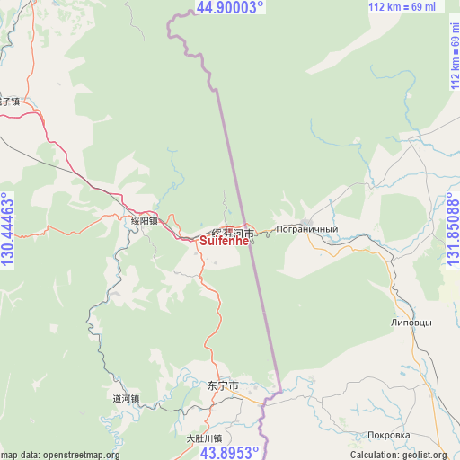
Suifenhe GPS coordinates[2]
44° 23' 59.352" North, 131° 8' 51.9" East
| Map corner | latitude | longitude |
|---|---|---|
| Upper-left | 44.90003°, | 130.44463° |
| Center: | 44.39982°, | 131.14775° |
| Lower-right: | 43.8953°, | 131.85088° |
| Map W x H: | 111.7×111.7 km | = 69.4×69.4mi |
| max Lat: | 53.31946° ⇑6.7% North |
| Suifenhe: | 44.39982° |
| min Lat: | ⇓93.3% South 18.22056° |
| min Long | Suifenhe | max Long |
| 75.07348° | 131.14775° | 134.28917° |
| W 100%⇐ | ⇒0% E |
Elevation
Elevation of Suifenhe is 441 m = 1447 ft, and this is 43.8 m = 144 ft below average elevation for this country.
| Max E: |
5622 m = 18445 ft | 28.4% |
| Avg. | 484.8 m = 1591 ft | |
| Suifenhe | 441 m = 1447 ft | |
Min E: |
-3 m = -10 ft | 71.6% |
See also: China elevation on elevation.city.
Geographical zone
Suifenhe is located in North temperate zone (between Tropic of Cancer and the Arctic Circle). Distance of this Northern Tropic circle is 2330.9 km =1448.4 mi to South.| Distance of | km | miles | from Suifenhe |
|---|---|---|---|
| North Pole | 5070.3 | 3150.5 | to North |
| Arctic Circle | 2464.4 | 1531.3 | to North |
| Tropic Cancer | 2330.9 | 1448.4 | to South |
| Equator | 4936.8 | 3067.6 | to South |


Nearby cities:
15 places around Suifenhe: (largest is in red/bold)
• Bamiantong
76 km =47.2 mi,  319°
319°
• Daduchuan
50.9 km =31.6 mi,  187°
187°
• Daohe
48 km =29.8 mi,  211°
211°
• Dongning
37.6 km =23.4 mi,  183°
183°
• Fulu
74.5 km =46.3 mi, 323°
• Gonghe
81.7 km =50.8 mi,  246°
246°
• Hexi
78.7 km =48.9 mi, 318°
• Laoheishan
79.4 km =49.3 mi,  195°
195°
• Lishu
84.8 km =52.7 mi,  334°
334°
• Maqiaohe
58.3 km =36.2 mi,  303°
303°
• Muleng
72.4 km =45 mi,  280°
280°
• Sanchakou Chaoxianzu
43.2 km =26.8 mi,  170°
170°
• Suiyang
21.3 km =13.2 mi, 276°
• Xiachengzi
63.7 km =39.6 mi, 299°
• Xingyuan
68.5 km =42.6 mi,  288°
288°
Sources, notices
• [Note1] Compared only with cities in China existing in our database
• [Src1] Map data: © OpenStreetMap contributors (CC-BY-SA)
• [Src2] Other city data from geonames.org with taken over terms of usage.
• [Src3] Geographical zone / Annual Mean Temperature by Robert A. Rohde @ Wikipedia
