Gar geodata
Gar (Tibet) is a seat of a fourth-order administrative division; located in China in Asia/Shanghai (GMT+8) time zone. In our database, there are 1268 cities with bigger population. Compared to other cities in China, 61.9% of cities are located further ↓South; 99.5% of cities are located further →East and 99.2% of cities have lower elevation than Gar. Note1


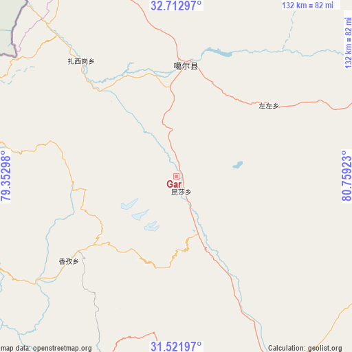
Gar GPS coordinates[2]
32° 7' 9.876" North, 80° 3' 21.96" East
| Map corner | latitude | longitude |
|---|---|---|
| Upper-left | 32.71297°, | 79.35298° |
| Center: | 32.11941°, | 80.0561° |
| Lower-right: | 31.52197°, | 80.75923° |
| Map W x H: | 132.4×132.4 km | = 82.3×82.3mi |
| max Lat: | 53.31946° ⇑38.1% North |
| Gar: | 32.11941° |
| min Lat: | ⇓61.9% South 18.22056° |
| min Long | Gar | max Long |
| 75.07348° | 80.0561° | 134.28917° |
| W 0.5%⇐ | ⇒99.5% E |
Elevation
Elevation of Gar is 4263 m = 13986 ft, and this is 3778.2 m = 12396 ft above average elevation for this country.
| Max E: |
5622 m = 18445 ft | 0.8% |
| Gar | 4263 m 13986 ft | |
| Avg. | 484.8 m = 1591 ft | |
Min E: |
-3 m = -10 ft | 99.2% |
See also: China elevation on elevation.city.
Geographical zone
Gar is located in North temperate zone (between Tropic of Cancer and the Arctic Circle). Distance of this Northern Tropic circle is 965.4 km =599.9 mi to South.| Distance of | km | miles | from Gar |
|---|---|---|---|
| North Pole | 6435.7 | 3999 | to North |
| Arctic Circle | 3829.8 | 2379.7 | to North |
| Tropic Cancer | 965.4 | 599.9 | to South |
| Equator | 3571.3 | 2219.1 | to South |


Nearby cities:
15 places around Gar: (largest is in red/bold)
• Burang
229 km =142.3 mi,  152°
152°
• Darchen
176.4 km =109.6 mi,  138°
138°
• Diyag
127.4 km =79.2 mi,  248°
248°
• Gangsha
172.5 km =107.2 mi, 137°
• Geji
106.4 km =66.1 mi,  73°
73°
• Jisegumen
226.3 km =140.6 mi,  17°
17°
• Langjiu
43.9 km =27.3 mi,  52°
52°
• Lumaka
111.4 km =69.2 mi, 15°
• Qumudi
82.5 km =51.3 mi,  276°
276°
• Rutog
149.6 km =93 mi,  344°
344°
• Shiquanhe
42.6 km =26.5 mi,  5°
5°
• Toding
75.1 km =46.7 mi,  198°
198°
• Xagmakajor
226 km =140.4 mi,  107°
107°
• Zangkaxa
179.7 km =111.7 mi, 9°
• Zhabu
323.8 km =201.2 mi, 69°
Sources, notices
• [Note1] Compared only with cities in China existing in our database
• [Src1] Map data: © OpenStreetMap contributors (CC-BY-SA)
• [Src2] Other city data from geonames.org with taken over terms of usage.
• [Src3] Geographical zone / Annual Mean Temperature by Robert A. Rohde @ Wikipedia
