Xagmakajor geodata
Xagmakajor (Tibet) is a seat of a fourth-order administrative division; located in China in Asia/Shanghai (GMT+8) time zone. In our database, there are 1268 cities with bigger population. Compared to other cities in China, 58.4% of cities are located further ↓South; 99.1% of cities are located further →East and 99.9% of cities have lower elevation than Xagmakajor. Note1


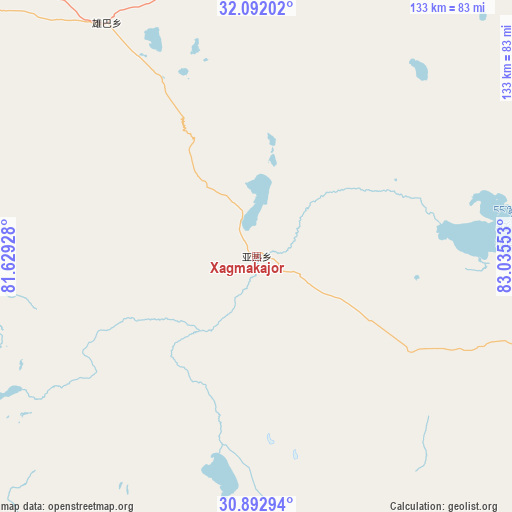
Xagmakajor GPS coordinates[2]
31° 29' 39.84" North, 82° 19' 56.64" East
| Map corner | latitude | longitude |
|---|---|---|
| Upper-left | 32.09202°, | 81.62928° |
| Center: | 31.4944°, | 82.3324° |
| Lower-right: | 30.89294°, | 83.03553° |
| Map W x H: | 133.3×133.3 km | = 82.8×82.8mi |
| max Lat: | 53.31946° ⇑41.6% North |
| Xagmakajor: | 31.4944° |
| min Lat: | ⇓58.4% South 18.22056° |
| min Long | Xagmakajor | max Long |
| 75.07348° | 82.3324° | 134.28917° |
| W 0.9%⇐ | ⇒99.1% E |
Elevation
Elevation of Xagmakajor is 4819 m = 15810 ft, and this is 4334.2 m = 14220 ft above average elevation for this country.
| Max E: |
5622 m = 18445 ft | 0.099999999999994% |
| Xagmakajor | 4819 m 15810 ft | |
| Avg. | 484.8 m = 1591 ft | |
Min E: |
-3 m = -10 ft | 99.9% |
See also: China elevation on elevation.city.
Geographical zone
Xagmakajor is located in North temperate zone (between Tropic of Cancer and the Arctic Circle). Distance of this Northern Tropic circle is 895.9 km =556.7 mi to South.| Distance of | km | miles | from Xagmakajor |
|---|---|---|---|
| North Pole | 6505.2 | 4042.1 | to North |
| Arctic Circle | 3899.3 | 2422.9 | to North |
| Tropic Cancer | 895.9 | 556.7 | to South |
| Equator | 3501.8 | 2175.9 | to South |


Nearby cities:
15 places around Xagmakajor: (largest is in red/bold)
• Burang
173.1 km =107.6 mi,  219°
219°
• Darchen
117.3 km =72.9 mi,  237°
237°
• Gangsha
114.8 km =71.3 mi, 239°
• Gar
226 km =140.4 mi,  287°
287°
• Geji
150.7 km =93.6 mi,  311°
311°
• Langjiu
203.9 km =126.7 mi,  298°
298°
• Lumaka
255.8 km =158.9 mi, 313°
• Luring
196.1 km =121.9 mi,  64°
64°
• Maindong
293.2 km =182.2 mi,  93°
93°
• Qumudi
307.5 km =191.1 mi,  284°
284°
• Shiquanhe
238.6 km =148.3 mi, 297°
• Toding
240.3 km =149.3 mi,  269°
269°
• Zangkaxa
307.2 km =190.9 mi,  323°
323°
• Zhabu
202.4 km =125.8 mi,  26°
26°
• Zhadong
270 km =167.8 mi,  139°
139°
Sources, notices
• [Note1] Compared only with cities in China existing in our database
• [Src1] Map data: © OpenStreetMap contributors (CC-BY-SA)
• [Src2] Other city data from geonames.org with taken over terms of usage.
• [Src3] Geographical zone / Annual Mean Temperature by Robert A. Rohde @ Wikipedia
