Burang geodata
Burang (Tibet) is a seat of a third-order administrative division; located in China in Asia/Shanghai (GMT+8) time zone. With population of 5,026 people, there are 871 cities with bigger population in this country. Compared to other cities in China, 51.2% of cities are located further ↑North; 99.3% of cities are located further →East and 98.4% of cities have lower elevation than Burang. Note1


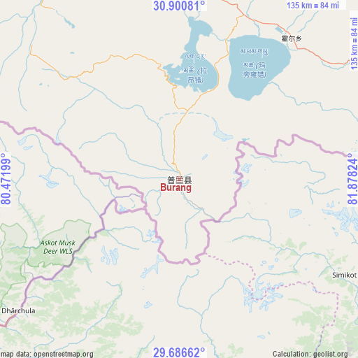
Burang GPS coordinates[2]
30° 17' 44.124" North, 81° 10' 30.396" East
| Map corner | latitude | longitude |
|---|---|---|
| Upper-left | 30.90081°, | 80.47199° |
| Center: | 30.29559°, | 81.17511° |
| Lower-right: | 29.68662°, | 81.87824° |
| Map W x H: | 135×135 km | = 83.9×83.9mi |
| max Lat: | 53.31946° ⇑51.2% North |
| Burang: | 30.29559° |
| min Lat: | ⇓48.8% South 18.22056° |
| min Long | Burang | max Long |
| 75.07348° | 81.17511° | 134.28917° |
| W 0.7%⇐ | ⇒99.3% E |
Elevation
Elevation of Burang is 3892 m = 12769 ft, and this is 3407.2 m = 11178 ft above average elevation for this country.
| Max E: |
5622 m = 18445 ft | 1.6% |
| Burang | 3892 m 12769 ft | |
| Avg. | 484.8 m = 1591 ft | |
Min E: |
-3 m = -10 ft | 98.4% |
See also: China elevation on elevation.city.
Geographical zone
Burang is located in North temperate zone (between Tropic of Cancer and the Arctic Circle). Distance of this Northern Tropic circle is 762.6 km =473.9 mi to South.| Distance of | km | miles | from Burang |
|---|---|---|---|
| North Pole | 6638.5 | 4125 | to North |
| Arctic Circle | 4032.6 | 2505.7 | to North |
| Tropic Cancer | 762.6 | 473.9 | to South |
| Equator | 3368.6 | 2093.2 | to South |


Nearby cities:
15 places around Burang: (largest is in red/bold)
• Darchen
71.5 km =44.4 mi,  8°
8°
• Diyag
275 km =170.9 mi,  304°
304°
• Gangsha
76.5 km =47.5 mi, 8°
• Gar
229 km =142.3 mi,  332°
332°
• Geji
233.5 km =145.1 mi,  359°
359°
• Langjiu
240.2 km =149.3 mi,  342°
342°
• Lumaka
319.5 km =198.5 mi,  346°
346°
• Luring
361.4 km =224.6 mi,  52°
52°
• Qumudi
284 km =176.5 mi,  318°
318°
• Rutog
376.3 km =233.8 mi, 337°
• Shiquanhe
265.7 km =165.1 mi, 337°
• Toding
186.1 km =115.6 mi, 315°
• Xagmakajor
173.1 km =107.6 mi,  39°
39°
• Zhabu
372.9 km =231.7 mi,  32°
32°
• Zhadong
296.9 km =184.5 mi,  103°
103°
Sources, notices
• [Note1] Compared only with cities in China existing in our database
• [Src1] Map data: © OpenStreetMap contributors (CC-BY-SA)
• [Src2] Other city data from geonames.org with taken over terms of usage.
• [Src3] Geographical zone / Annual Mean Temperature by Robert A. Rohde @ Wikipedia
