Teorama geodata
Teorama (Norte de Santander) is a seat of a second-order administrative division; located in Colombia in America/Bogota (GMT-5) time zone. In our database, there are 1053 cities with bigger population. Compared to other cities in Colombia, 83.4% of cities are located further ↓South; 80.8% of cities are located further ←West and 53.1% of cities have higher elevation than Teorama. Note1


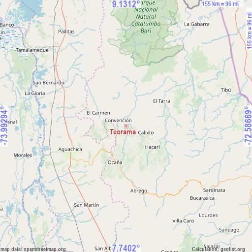
Teorama GPS coordinates[2]
8° 26' 10.788" North, 73° 17' 23.316" West
| Map corner | latitude | longitude |
|---|---|---|
| Upper-left | 9.1312°, | -73.99294° |
| Center: | 8.43633°, | -73.28981° |
| Lower-right: | 7.7402°, | -72.58669° |
| Map W x H: | 154.7×154.7 km | = 96.1×96.1mi |
| max Lat: | 13.38166° ⇑16.6% North |
| Teorama: | 8.43633° |
| min Lat: | ⇓83.4% South -4.21528° |
| min Long | Teorama | max Long |
| -81.70636° | -73.28981° | -67.06996° |
| W 80.8%⇐ | ⇒19.2% E |
Elevation
Elevation of Teorama is 1006 m = 3301 ft, and this is 143.3 m = 470 ft below average elevation for this country.
| Max E: |
3342 m = 10965 ft | 53.1% |
| Avg. | 1149.3 m = 3771 ft | |
| Teorama | 1006 m = 3301 ft | |
Min E: |
1 m = 3 ft | 46.9% |
See also: Colombia elevation on elevation.city.
Geographical zone
Teorama is located in North Torrid zone (between Equator and Tropic of Cancer). Distance of Equator is 938 km =582.8 mi to South.| Distance of | km | miles | from Teorama |
|---|---|---|---|
| North Pole | 9069 | 5635.2 | to North |
| Arctic Circle | 6463.1 | 4016 | to North |
| Tropic Cancer | 1667.9 | 1036.4 | to North |
| Equator | 938 | 582.8 | to South |


Nearby cities:
15 places around Teorama: (largest is in red/bold)
• Aguachica
38.7 km =24 mi,  248°
248°
• Convención
6.4 km =4 mi,  304°
304°
• El Carmen
19.2 km =11.9 mi, 295°
• El Tarra
26.4 km =16.4 mi,  54°
54°
• Gamarra
51.4 km =31.9 mi,  255°
255°
• González
11.2 km =7 mi,  242°
242°
• Hacarí
20 km =12.4 mi,  129°
129°
• La Gloria
59.9 km =37.2 mi,  289°
289°
• La Playa
25.4 km =15.8 mi,  167°
167°
• Ocaña
23.3 km =14.5 mi,  198°
198°
• Pelaya
49.8 km =30.9 mi, 304°
• Río de Oro
19.2 km =11.9 mi,  213°
213°
• San Calixto
9.8 km =6.1 mi,  112°
112°
• San Martín
54.1 km =33.6 mi, 206°
• Ábrego
40.3 km =25 mi, 169°
Sources, notices
• [Note1] Compared only with cities in Colombia existing in our database
• [Src1] Map data: © OpenStreetMap contributors (CC-BY-SA)
• [Src2] Other city data from geonames.org with taken over terms of usage.
• [Src3] Geographical zone / Annual Mean Temperature by Robert A. Rohde @ Wikipedia
