Támara geodata
Támara (Casanare) is a seat of a second-order administrative division; located in Colombia in America/Bogota (GMT-5) time zone. With population of 2,007 people, there are 799 cities with bigger population in this country. Compared to other cities in Colombia, 56.4% of cities are located further ↓South; 97.5% of cities are located further ←West and 50.2% of cities have higher elevation than Támara. Note1


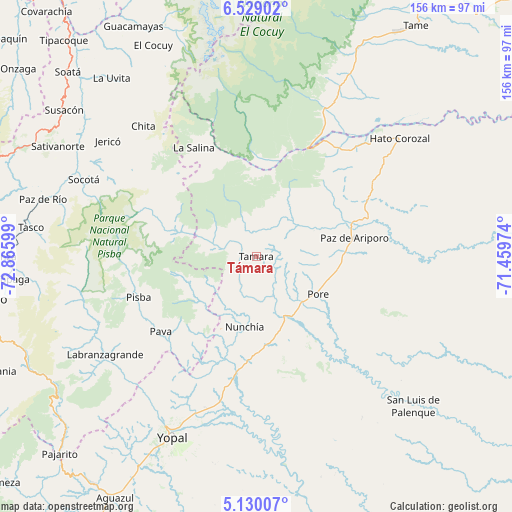
Támara GPS coordinates[2]
5° 49' 47.928" North, 72° 9' 46.296" West
| Map corner | latitude | longitude |
|---|---|---|
| Upper-left | 6.52902°, | -72.86599° |
| Center: | 5.82998°, | -72.16286° |
| Lower-right: | 5.13007°, | -71.45974° |
| Map W x H: | 155.5×155.6 km | = 96.6×96.7mi |
| max Lat: | 13.38166° ⇑43.6% North |
| Támara: | 5.82998° |
| min Lat: | ⇓56.4% South -4.21528° |
| min Long | Támara | max Long |
| -81.70636° | -72.16286° | -67.06996° |
| W 97.5%⇐ | ⇒2.5% E |
Elevation
Elevation of Támara is 1120 m = 3675 ft, and this is 29.3 m = 96 ft below average elevation for this country.
| Max E: |
3342 m = 10965 ft | 50.2% |
| Avg. | 1149.3 m = 3771 ft | |
| Támara | 1120 m = 3675 ft | |
Min E: |
1 m = 3 ft | 49.8% |
See also: Colombia elevation on elevation.city.
Geographical zone
Támara is located in North Torrid zone (between Equator and Tropic of Cancer). Distance of Equator is 648.2 km =402.8 mi to South.| Distance of | km | miles | from Támara |
|---|---|---|---|
| North Pole | 9358.8 | 5815.3 | to North |
| Arctic Circle | 6752.9 | 4196.1 | to North |
| Tropic Cancer | 1957.7 | 1216.5 | to North |
| Equator | 648.2 | 402.8 | to South |


Nearby cities:
15 places around Támara: (largest is in red/bold)
• Chita
53 km =32.9 mi,  319°
319°
• Jericó
57.2 km =35.5 mi,  307°
307°
• La Salina
38.8 km =24.1 mi,  329°
329°
• Labranzagrande
54.5 km =33.9 mi,  236°
236°
• Municipio Hato Corozal
57.2 km =35.5 mi,  50°
50°
• Nunchía
21.9 km =13.6 mi,  189°
189°
• Paya
36.8 km =22.9 mi,  231°
231°
• Paz de Ariporo
30.5 km =19 mi,  79°
79°
• Pisba
37.7 km =23.4 mi,  251°
251°
• Pore
22 km =13.7 mi,  121°
121°
• Socha
61.3 km =38.1 mi,  287°
287°
• Socha Viejo
63.4 km =39.4 mi, 285°
• Socotá
57.2 km =35.5 mi, 294°
• Sácama
31.4 km =19.5 mi,  342°
342°
• Yopal
60.5 km =37.6 mi,  205°
205°
Sources, notices
• [Note1] Compared only with cities in Colombia existing in our database
• [Src1] Map data: © OpenStreetMap contributors (CC-BY-SA)
• [Src2] Other city data from geonames.org with taken over terms of usage.
• [Src3] Geographical zone / Annual Mean Temperature by Robert A. Rohde @ Wikipedia
