Sixaola geodata
Sixaola (Limón) is a populated place; located in Costa Rica in America/Costa_Rica (GMT-6) time zone. With population of 1,823 people, there are 105 cities with bigger population in this country. Compared to other cities in Costa Rica, 91% of cities are located further ↑North; 100% of cities are located further ←West and 100% of cities have higher elevation than Sixaola. Note1


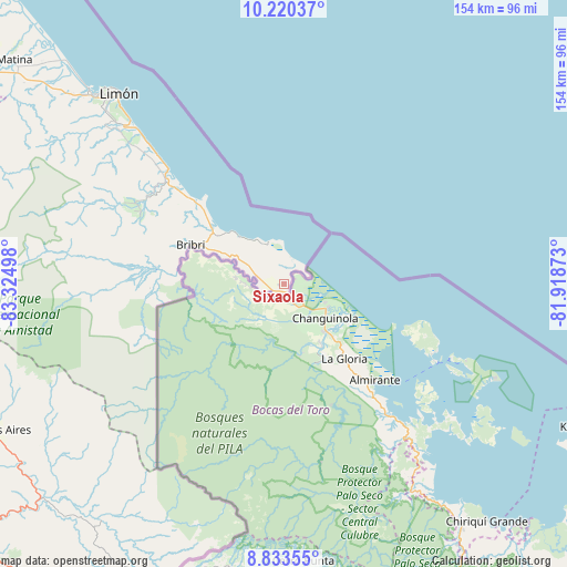
Sixaola GPS coordinates[2]
9° 31' 39.576" North, 82° 37' 18.66" West
| Map corner | latitude | longitude |
|---|---|---|
| Upper-left | 10.22037°, | -83.32498° |
| Center: | 9.52766°, | -82.62185° |
| Lower-right: | 8.83355°, | -81.91873° |
| Map W x H: | 154.2×154.2 km | = 95.8×95.8mi |
| max Lat: | 11.07377° ⇑91% North |
| Sixaola: | 9.52766° |
| min Lat: | ⇓9% South 8.53305° |
| min Long | Sixaola | max Long |
| -85.64748° | -82.62185° | -82.62185° |
| W 100%⇐ | ⇒0% E |
Elevation
Elevation of Sixaola is 7 m = 23 ft, and this is 728 m = 2388 ft below average elevation for this country.
| Max E: |
1844 m = 6050 ft | 100% |
| Avg. | 735 m = 2411 ft | |
| Sixaola | 7 m = 23 ft | |
Min E: |
7 m = 23 ft | 0% |
See also: Costa Rica elevation on elevation.city.
Geographical zone
Sixaola is located in North Torrid zone (between Equator and Tropic of Cancer). Distance of Equator is 1059.4 km =658.3 mi to South.| Distance of | km | miles | from Sixaola |
|---|---|---|---|
| North Pole | 8947.7 | 5559.8 | to North |
| Arctic Circle | 6341.8 | 3940.6 | to North |
| Tropic Cancer | 1546.5 | 961 | to North |
| Equator | 1059.4 | 658.3 | to South |


Nearby cities:
15 places around Sixaola: (largest is in red/bold)
• Batán
99.6 km =61.9 mi,  308°
308°
• Buenos Aires
87.6 km =54.4 mi,  243°
243°
• Cahuita
33.5 km =20.8 mi, 314°
• Canoas
113.1 km =70.3 mi,  192°
192°
• Corredor
104.9 km =65.2 mi,  199°
199°
• Daniel Flores
116.9 km =72.6 mi,  259°
259°
• Golfito
116.1 km =72.1 mi,  207°
207°
• La Suiza
114.8 km =71.3 mi,  288°
288°
• Limón
68.6 km =42.6 mi,  318°
318°
• Matina
95.3 km =59.2 mi, 310°
• Mercedes
109.4 km =68 mi,  254°
254°
• Pacuarito
112.7 km =70 mi,  304°
304°
• Sabalito
85 km =52.8 mi, 201°
• San Vito
87.4 km =54.3 mi, 205°
• Siquirres
115.8 km =72 mi, 303°
Sources, notices
• [Note1] Compared only with cities in Costa Rica existing in our database
• [Src1] Map data: © OpenStreetMap contributors (CC-BY-SA)
• [Src2] Other city data from geonames.org with taken over terms of usage.
• [Src3] Geographical zone / Annual Mean Temperature by Robert A. Rohde @ Wikipedia
