Mutzschen geodata
Mutzschen (Saxony) is a populated place; located in Germany in Europe/Berlin (GMT+2) time zone. With population of 2,402 people, there are 4559 cities with bigger population in this country. Compared to other cities in Germany, 62.6% of cities are located further ↓South; 91.4% of cities are located further ←West and 55% of cities have higher elevation than Mutzschen. Note1


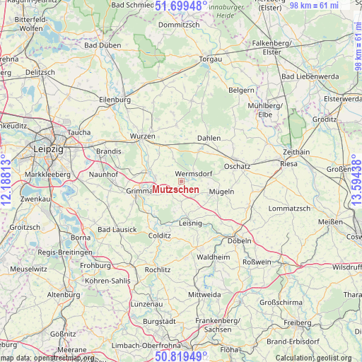
Mutzschen GPS coordinates[2]
51° 15' 41.724" North, 12° 53' 28.5" East
| Map corner | latitude | longitude |
|---|---|---|
| Upper-left | 51.69948°, | 12.18813° |
| Center: | 51.26159°, | 12.89125° |
| Lower-right: | 50.81949°, | 13.59438° |
| Map W x H: | 97.8×97.8 km | = 60.8×60.8mi |
| max Lat: | 55.01917° ⇑37.4% North |
| Mutzschen: | 51.26159° |
| min Lat: | ⇓62.6% South 47.40724° |
| min Long | Mutzschen | max Long |
| 5.92978° | 12.89125° | 14.98853° |
| W 91.4%⇐ | ⇒8.6% E |
Elevation
Elevation of Mutzschen is 189 m = 620 ft, and this is 60.1 m = 197 ft below average elevation for this country.
| Max E: |
1256 m = 4121 ft | 55% |
| Avg. | 249.1 m = 817 ft | |
| Mutzschen | 189 m = 620 ft | |
Min E: |
-5 m = -16 ft | 45% |
See also: Germany elevation on elevation.city.
Geographical zone
Mutzschen is located in North temperate zone (between Tropic of Cancer and the Arctic Circle). Distance of this North polar circle is 1701.4 km =1057.2 mi to North.| Distance of | km | miles | from Mutzschen |
|---|---|---|---|
| North Pole | 4307.3 | 2676.4 | to North |
| Arctic Circle | 1701.4 | 1057.2 | to North |
| Tropic Cancer | 3093.8 | 1922.4 | to South |
| Equator | 5699.8 | 3541.7 | to South |


Nearby cities:
15 places around Mutzschen: (largest is in red/bold)
• Bockelwitz
8.3 km =5.2 mi,  146°
146°
• Dahlen
13.7 km =8.5 mi,  33°
33°
• Falkenhain
15.3 km =9.5 mi,  354°
354°
• Grimma
12.3 km =7.6 mi,  255°
255°
• Großbardau
14.9 km =9.3 mi,  244°
244°
• Großbothen
12.8 km =8 mi,  229°
229°
• Großweitzschen
15.7 km =9.8 mi,  136°
136°
• Leisnig
11.9 km =7.4 mi,  167°
167°
• Mügeln
11.1 km =6.9 mi,  104°
104°
• Naundorf
15.1 km =9.4 mi,  91°
91°
• Nerchau
7.2 km =4.5 mi,  278°
278°
• Ostrau
6.2 km =3.9 mi,  184°
184°
• Trebsen
10 km =6.2 mi,  287°
287°
• Wermsdorf
4.7 km =2.9 mi,  59°
59°
• Zschadrass
14.6 km =9.1 mi,  200°
200°
Sources, notices
• [Note1] Compared only with cities in Germany existing in our database
• [Src1] Map data: © OpenStreetMap contributors (CC-BY-SA)
• [Src2] Other city data from geonames.org with taken over terms of usage.
• [Src3] Geographical zone / Annual Mean Temperature by Robert A. Rohde @ Wikipedia
