Lennestadt geodata
Lennestadt (North Rhine-Westphalia) is a populated place; located in Germany in Europe/Berlin (GMT+2) time zone. With population of 28,102 people, there are 503 cities with bigger population in this country. Compared to other cities in Germany, 60.2% of cities are located further ↓South; 76% of cities are located further →East and 56.9% of cities have lower elevation than Lennestadt. Note1
Administrative division(s):
- Level 1: North Rhine-Westphalia
- Level 2: Regierungsbezirk Arnsberg
- Level 3: Kreis Olpe
- Level 4: Lennestadt


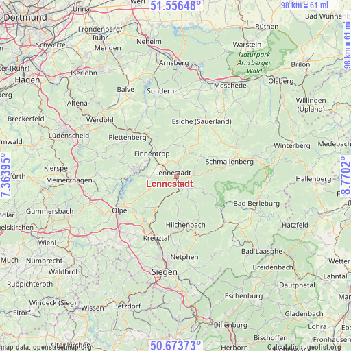
Lennestadt GPS coordinates[2]
51° 7' 1.956" North, 8° 4' 1.452" East
| Map corner | latitude | longitude |
|---|---|---|
| Upper-left | 51.55648°, | 7.36395° |
| Center: | 51.11721°, | 8.06707° |
| Lower-right: | 50.67373°, | 8.7702° |
| Map W x H: | 98.2×98.2 km | = 61×61mi |
| max Lat: | 55.01917° ⇑39.8% North |
| Lennestadt: | 51.11721° |
| min Lat: | ⇓60.2% South 47.40724° |
| min Long | Lennestadt | max Long |
| 5.92978° | 8.06707° | 14.98853° |
| W 24%⇐ | ⇒76% E |
Elevation
Elevation of Lennestadt is 271 m = 889 ft, and this is 21.9 m = 72 ft above average elevation for this country.
| Max E: |
1256 m = 4121 ft | 43.1% |
| Lennestadt | 271 m 889 ft | |
| Avg. | 249.1 m = 817 ft | |
Min E: |
-5 m = -16 ft | 56.9% |
See also: Germany elevation on elevation.city.
Geographical zone
Lennestadt is located in North temperate zone (between Tropic of Cancer and the Arctic Circle). Distance of this North polar circle is 1717.5 km =1067.2 mi to North.| Distance of | km | miles | from Lennestadt |
|---|---|---|---|
| North Pole | 4323.4 | 2686.4 | to North |
| Arctic Circle | 1717.5 | 1067.2 | to North |
| Tropic Cancer | 3077.8 | 1912.5 | to South |
| Equator | 5683.7 | 3531.7 | to South |


Nearby cities:
15 places around Lennestadt: (largest is in red/bold)
• Attendorn
11.5 km =7.1 mi,  275°
275°
• Bad Fredeburg
18.7 km =11.6 mi,  64°
64°
• Bamenohl
7.9 km =4.9 mi,  312°
312°
• Drolshagen
23 km =14.3 mi,  243°
243°
• Erndtebrück
19.3 km =12 mi,  137°
137°
• Eslohe
16.8 km =10.4 mi,  25°
25°
• Finnentrop
8.7 km =5.4 mi, 310°
• Hilchenbach
13.7 km =8.5 mi,  167°
167°
• Kirchhundem
3.8 km =2.4 mi,  156°
156°
• Kreuztal
17.5 km =10.9 mi,  198°
198°
• Netphen
22.4 km =13.9 mi, 174°
• Olpe
18 km =11.2 mi, 236°
• Plettenberg
17 km =10.6 mi, 307°
• Schmallenberg
15.8 km =9.8 mi,  74°
74°
• Wenden
21.8 km =13.5 mi,  219°
219°
Sources, notices
• [Note1] Compared only with cities in Germany existing in our database
• [Src1] Map data: © OpenStreetMap contributors (CC-BY-SA)
• [Src2] Other city data from geonames.org with taken over terms of usage.
• [Src3] Geographical zone / Annual Mean Temperature by Robert A. Rohde @ Wikipedia
