Ihlow geodata
Ihlow (Brandenburg) is a seat of a fourth-order administrative division; located in Germany in Europe/Berlin (GMT+2) time zone. With population of 838 people, there are 7749 cities with bigger population in this country. Compared to other cities in Germany, 70.7% of cities are located further ↓South; 94.6% of cities are located further ←West and 70.5% of cities have higher elevation than Ihlow. Note1


Ihlow GPS coordinates[2]
51° 52' 1.812" North, 13° 20' 15.684" East
| Map corner | latitude | longitude |
|---|---|---|
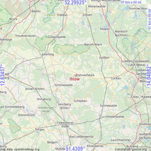
| Upper-left | 52.29925°, | 12.63457° |
| Center: | 51.86717°, | 13.33769° |
| Lower-right: | 51.4309°, | 14.04082° |
| Map W x H: | 96.6×96.5 km | = 60×60mi |
| max Lat: | 55.01917° ⇑29.3% North |
| Ihlow: | 51.86717° |
| min Lat: | ⇓70.7% South 47.40724° |
| min Long | Ihlow | max Long |
| 5.92978° | 13.33769° | 14.98853° |
| W 94.6%⇐ | ⇒5.4% E |
Elevation
Elevation of Ihlow is 88 m = 289 ft, and this is 161.1 m = 529 ft below average elevation for this country.
| Max E: |
1256 m = 4121 ft | 70.5% |
| Avg. | 249.1 m = 817 ft | |
| Ihlow | 88 m = 289 ft | |
Min E: |
-5 m = -16 ft | 29.5% |
See also: Germany elevation on elevation.city.
Geographical zone
Ihlow is located in North temperate zone (between Tropic of Cancer and the Arctic Circle). Distance of this North polar circle is 1634.1 km =1015.4 mi to North.| Distance of | km | miles | from Ihlow |
|---|---|---|---|
| North Pole | 4240 | 2634.6 | to North |
| Arctic Circle | 1634.1 | 1015.4 | to North |
| Tropic Cancer | 3161.2 | 1964.3 | to South |
| Equator | 5767.1 | 3583.5 | to South |


Nearby cities:
15 places around Ihlow: (largest is in red/bold)
• Annaburg
24.9 km =15.5 mi,  233°
233°
• Baruth
22.7 km =14.1 mi,  29°
29°
• Dahme
6.2 km =3.9 mi,  86°
86°
• Drahnsdorf
17.7 km =11 mi,  71°
71°
• Golßen
21.5 km =13.4 mi,  57°
57°
• Herzberg
21.6 km =13.4 mi,  201°
201°
• Hohenbucko
14.3 km =8.9 mi,  141°
141°
• Holzdorf
17.5 km =10.9 mi,  235°
235°
• Jüterbog
22.8 km =14.2 mi,  309°
309°
• Kasel-Golzig
25.9 km =16.1 mi, 73°
• Lebusa
9.8 km =6.1 mi, 144°
• Linda
16.1 km =10 mi,  265°
265°
• Luckau
25.4 km =15.8 mi, 93°
• Niedergörsdorf
27.2 km =16.9 mi,  297°
297°
• Schlieben
16.2 km =10.1 mi,  168°
168°
Sources, notices
• [Note1] Compared only with cities in Germany existing in our database
• [Src1] Map data: © OpenStreetMap contributors (CC-BY-SA)
• [Src2] Other city data from geonames.org with taken over terms of usage.
• [Src3] Geographical zone / Annual Mean Temperature by Robert A. Rohde @ Wikipedia
