Ettenhausen geodata
Ettenhausen (Thuringia) is a populated place; located in Germany in Europe/Berlin (GMT+2) time zone. With population of 514 people, there are 9299 cities with bigger population in this country. Compared to other cities in Germany, 55.7% of cities are located further ↓South; 53.9% of cities are located further ←West and 57% of cities have lower elevation than Ettenhausen. Note1


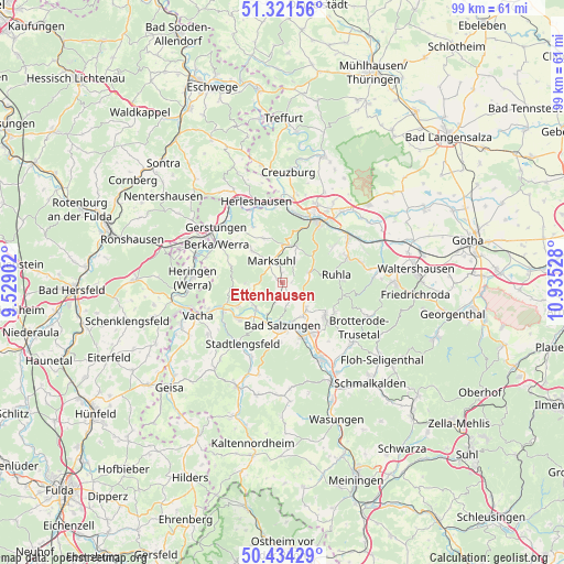
Ettenhausen GPS coordinates[2]
50° 52' 48.144" North, 10° 13' 55.74" East
| Map corner | latitude | longitude |
|---|---|---|
| Upper-left | 51.32156°, | 9.52902° |
| Center: | 50.88004°, | 10.23215° |
| Lower-right: | 50.43429°, | 10.93528° |
| Map W x H: | 98.7×98.7 km | = 61.3×61.3mi |
| max Lat: | 55.01917° ⇑44.3% North |
| Ettenhausen: | 50.88004° |
| min Lat: | ⇓55.7% South 47.40724° |
| min Long | Ettenhausen | max Long |
| 5.92978° | 10.23215° | 14.98853° |
| W 53.9%⇐ | ⇒46.1% E |
Elevation
Elevation of Ettenhausen is 272 m = 892 ft, and this is 22.9 m = 75 ft above average elevation for this country.
| Max E: |
1256 m = 4121 ft | 43% |
| Ettenhausen | 272 m 892 ft | |
| Avg. | 249.1 m = 817 ft | |
Min E: |
-5 m = -16 ft | 57% |
See also: Germany elevation on elevation.city.
Geographical zone
Ettenhausen is located in North temperate zone (between Tropic of Cancer and the Arctic Circle). Distance of this North polar circle is 1743.8 km =1083.5 mi to North.| Distance of | km | miles | from Ettenhausen |
|---|---|---|---|
| North Pole | 4349.7 | 2702.8 | to North |
| Arctic Circle | 1743.8 | 1083.5 | to North |
| Tropic Cancer | 3051.4 | 1896.1 | to South |
| Equator | 5657.3 | 3515.3 | to South |


Nearby cities:
15 places around Ettenhausen: (largest is in red/bold)
• Bad Liebenstein
11 km =6.8 mi,  130°
130°
• Bad Salzungen
7.4 km =4.6 mi,  177°
177°
• Barchfeld
10.1 km =6.3 mi,  151°
151°
• Dorndorf
11.2 km =7 mi,  243°
243°
• Frauensee
6.3 km =3.9 mi,  267°
267°
• Immelborn
10.3 km =6.4 mi,  161°
161°
• Leimbach
7.4 km =4.6 mi,  197°
197°
• Marksuhl
4.7 km =2.9 mi,  331°
331°
• Oberellen
8.3 km =5.2 mi,  336°
336°
• Ruhla
9.5 km =5.9 mi,  81°
81°
• Schweina
9.6 km =6 mi, 129°
• Steinbach
10.6 km =6.6 mi,  119°
119°
• Tiefenort
6.5 km =4 mi,  225°
225°
• Unterellen
10.9 km =6.8 mi, 332°
• Wolfsburg-Unkeroda
6.4 km =4 mi,  22°
22°
Sources, notices
• [Note1] Compared only with cities in Germany existing in our database
• [Src1] Map data: © OpenStreetMap contributors (CC-BY-SA)
• [Src2] Other city data from geonames.org with taken over terms of usage.
• [Src3] Geographical zone / Annual Mean Temperature by Robert A. Rohde @ Wikipedia
