Cobatillas geodata
Cobatillas (Murcia) is a populated place; located in Spain in Europe/Madrid (GMT+2) time zone. With population of 1,842 people, there are 2264 cities with bigger population in this country. Compared to other cities in Spain, 88.1% of cities are located further ↑North; 76.5% of cities are located further ←West and 90.6% of cities have higher elevation than Cobatillas. Note1


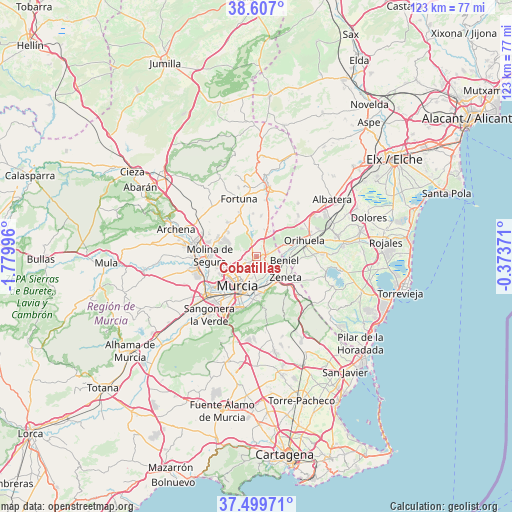
Cobatillas GPS coordinates[2]
38° 3' 19.62" North, 1° 4' 36.588" West
| Map corner | latitude | longitude |
|---|---|---|
| Upper-left | 38.607°, | -1.77996° |
| Center: | 38.05545°, | -1.07683° |
| Lower-right: | 37.49971°, | -0.37371° |
| Map W x H: | 123.1×123.1 km | = 76.5×76.5mi |
| max Lat: | 43.74134° ⇑88.1% North |
| Cobatillas: | 38.05545° |
| min Lat: | ⇓11.9% South 27.64134° |
| min Long | Cobatillas | max Long |
| -18.00367° | -1.07683° | 4.2899° |
| W 76.5%⇐ | ⇒23.5% E |
Elevation
Elevation of Cobatillas is 56 m = 184 ft, and this is 542 m = 1778 ft below average elevation for this country.
| Max E: |
1682 m = 5518 ft | 90.6% |
| Avg. | 598 m = 1962 ft | |
| Cobatillas | 56 m = 184 ft | |
Min E: |
0 m = 0 ft | 9.4% |
See also: Spain elevation on elevation.city.
Geographical zone
Cobatillas is located in North temperate zone (between Tropic of Cancer and the Arctic Circle). Distance of this Northern Tropic circle is 1625.5 km =1010 mi to South.| Distance of | km | miles | from Cobatillas |
|---|---|---|---|
| North Pole | 5775.7 | 3588.9 | to North |
| Arctic Circle | 3169.8 | 1969.6 | to North |
| Tropic Cancer | 1625.5 | 1010 | to South |
| Equator | 4231.4 | 2629.3 | to South |


Nearby cities:
15 places around Cobatillas: (largest is in red/bold)
• Alguazas
15.2 km =9.4 mi,  269°
269°
• Barrio de San José Obrero
3.9 km =2.4 mi,  141°
141°
• Benferri
13.9 km =8.6 mi,  46°
46°
• Beniel
6.6 km =4.1 mi,  98°
98°
• Bigastro
15.6 km =9.7 mi,  87°
87°
• Cabecicos
4.6 km =2.9 mi,  184°
184°
• Esparragal
2.5 km =1.6 mi,  193°
193°
• Fortuna
14.6 km =9.1 mi,  342°
342°
• Las Torres de Cotillas
14.8 km =9.2 mi,  258°
258°
• Lorquí
15.5 km =9.6 mi,  281°
281°
• Molina de Segura
11.5 km =7.1 mi, 269°
• Murcia
8.9 km =5.5 mi,  211°
211°
• Orihuela
12.1 km =7.5 mi,  74°
74°
• Santa Cruz
4.1 km =2.5 mi,  155°
155°
• Santomera
2.5 km =1.6 mi, 74°
Sources, notices
• [Note1] Compared only with cities in Spain existing in our database
• [Src1] Map data: © OpenStreetMap contributors (CC-BY-SA)
• [Src2] Other city data from geonames.org with taken over terms of usage.
• [Src3] Geographical zone / Annual Mean Temperature by Robert A. Rohde @ Wikipedia
