Yabēlo geodata
Yabēlo (Oromiya) is a populated place; located in Ethiopia in Africa/Addis_Ababa (GMT+3) time zone. With population of 17,819 people, there are 71 cities with bigger population in this country. Compared to other cities in Ethiopia, 98.1% of cities are located further ↑North; 61.7% of cities are located further →East and 51.4% of cities have higher elevation than Yabēlo. Note1


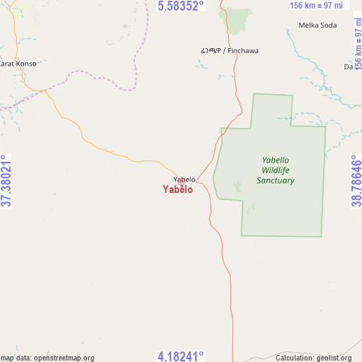
Yabēlo GPS coordinates[2]
4° 52' 59.988" North, 38° 4' 59.988" East
| Map corner | latitude | longitude |
|---|---|---|
| Upper-left | 5.58352°, | 37.38021° |
| Center: | 4.88333°, | 38.08333° |
| Lower-right: | 4.18241°, | 38.78646° |
| Map W x H: | 155.8×155.8 km | = 96.8×96.8mi |
| max Lat: | 14.277° ⇑98.1% North |
| Yabēlo: | 4.88333° |
| min Lat: | ⇓1.9% South 4.05° |
| min Long | Yabēlo | max Long |
| 34.53333° | 38.08333° | 42.8° |
| W 38.3%⇐ | ⇒61.7% E |
Elevation
Elevation of Yabēlo is 1906 m = 6253 ft, and this is 10.4 m = 34 ft above average elevation for this country.
| Max E: |
2854 m = 9364 ft | 51.4% |
| Yabēlo | 1906 m 6253 ft | |
| Avg. | 1895.6 m = 6219 ft | |
Min E: |
367 m = 1204 ft | 48.6% |
See also: Ethiopia elevation on elevation.city.
Geographical zone
Yabēlo is located in North Torrid zone (between Equator and Tropic of Cancer). Distance of Equator is 543 km =337.4 mi to South.| Distance of | km | miles | from Yabēlo |
|---|---|---|---|
| North Pole | 9464.1 | 5880.7 | to North |
| Arctic Circle | 6858.2 | 4261.5 | to North |
| Tropic Cancer | 2062.9 | 1281.8 | to North |
| Equator | 543 | 337.4 | to South |


Nearby cities:
15 places around Yabēlo: (largest is in red/bold)
• Arba Minch
140.8 km =87.5 mi,  335°
335°
• Bako
195.5 km =121.5 mi,  300°
300°
• Dīla
172.4 km =107.1 mi,  8°
8°
• Felege Neway
206 km =128 mi,  319°
319°
• Gīdolē
116.5 km =72.4 mi, 317°
• Hagere Maryam
85.2 km =52.9 mi, 11°
• Hāgere Selam
184.3 km =114.5 mi,  15°
15°
• Jinka
180.1 km =111.9 mi, 298°
• Kibre Mengist
149.3 km =92.8 mi,  41°
41°
• Konso
78 km =48.5 mi, 301°
• Mēga
95.7 km =59.5 mi,  165°
165°
• Shakiso
134.1 km =83.3 mi, 43°
• Turmi
177.5 km =110.3 mi,  272°
272°
• Wendo
194.4 km =120.8 mi, 10°
• Yirga ‘Alem
210.8 km =131 mi, 10°
Sources, notices
• [Note1] Compared only with cities in Ethiopia existing in our database
• [Src1] Map data: © OpenStreetMap contributors (CC-BY-SA)
• [Src2] Other city data from geonames.org with taken over terms of usage.
• [Src3] Geographical zone / Annual Mean Temperature by Robert A. Rohde @ Wikipedia
