Shakiso geodata
Shakiso (Oromiya) is a populated place; located in Ethiopia in Africa/Addis_Ababa (GMT+3) time zone. With population of 34,078 people, there are 30 cities with bigger population in this country. Compared to other cities in Ethiopia, 92.5% of cities are located further ↑North; 62.6% of cities are located further ←West and 66.4% of cities have higher elevation than Shakiso. Note1


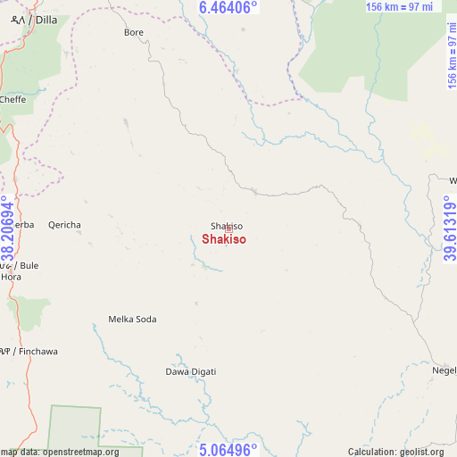
Shakiso GPS coordinates[2]
5° 45' 53.784" North, 38° 54' 36.216" East
| Map corner | latitude | longitude |
|---|---|---|
| Upper-left | 6.46406°, | 38.20694° |
| Center: | 5.76494°, | 38.91006° |
| Lower-right: | 5.06496°, | 39.61319° |
| Map W x H: | 155.6×155.6 km | = 96.7×96.7mi |
| max Lat: | 14.277° ⇑92.5% North |
| Shakiso: | 5.76494° |
| min Lat: | ⇓7.5% South 4.05° |
| min Long | Shakiso | max Long |
| 34.53333° | 38.91006° | 42.8° |
| W 62.6%⇐ | ⇒37.4% E |
Elevation
Elevation of Shakiso is 1741 m = 5712 ft, and this is 154.6 m = 507 ft below average elevation for this country.
| Max E: |
2854 m = 9364 ft | 66.4% |
| Avg. | 1895.6 m = 6219 ft | |
| Shakiso | 1741 m = 5712 ft | |
Min E: |
367 m = 1204 ft | 33.6% |
See also: Ethiopia elevation on elevation.city.
Geographical zone
Shakiso is located in North Torrid zone (between Equator and Tropic of Cancer). Distance of Equator is 641 km =398.3 mi to South.| Distance of | km | miles | from Shakiso |
|---|---|---|---|
| North Pole | 9366.1 | 5819.8 | to North |
| Arctic Circle | 6760.2 | 4200.6 | to North |
| Tropic Cancer | 1964.9 | 1220.9 | to North |
| Equator | 641 | 398.3 | to South |


Nearby cities:
15 places around Shakiso: (largest is in red/bold)
• Arba Minch
153.4 km =95.3 mi,  281°
281°
• Dodola
138.8 km =86.2 mi,  12°
12°
• Dīla
97.8 km =60.8 mi,  317°
317°
• Hagere Maryam
76 km =47.2 mi,  258°
258°
• Hawassa
152 km =94.4 mi,  341°
341°
• Hāgere Selam
90.9 km =56.5 mi,  331°
331°
• Kibre Mengist
15.5 km =9.6 mi,  31°
31°
• Kofelē
145.4 km =90.3 mi,  354°
354°
• Konso
168 km =104.4 mi,  250°
250°
• Leku
133.5 km =83 mi, 337°
• Shashemenē
163.2 km =101.4 mi, 347°
• Wendo
107.7 km =66.9 mi, 329°
• Yabēlo
134.1 km =83.3 mi,  223°
223°
• Yirga ‘Alem
122.4 km =76.1 mi, 333°
• Āsasa
151.9 km =94.4 mi, 12°
Sources, notices
• [Note1] Compared only with cities in Ethiopia existing in our database
• [Src1] Map data: © OpenStreetMap contributors (CC-BY-SA)
• [Src2] Other city data from geonames.org with taken over terms of usage.
• [Src3] Geographical zone / Annual Mean Temperature by Robert A. Rohde @ Wikipedia
