Yirga ‘Alem geodata
Yirga ‘Alem (SNNPR) is a populated place; located in Ethiopia in Africa/Addis_Ababa (GMT+3) time zone. With population of 36,292 people, there are 27 cities with bigger population in this country. Compared to other cities in Ethiopia, 85% of cities are located further ↑North; 50.5% of cities are located further ←West and 62.6% of cities have higher elevation than Yirga ‘Alem. Note1


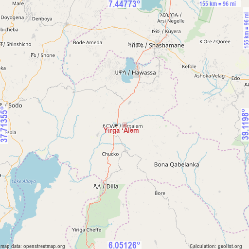
Yirga ‘Alem GPS coordinates[2]
6° 45' 0" North, 38° 25' 0.012" East
| Map corner | latitude | longitude |
|---|---|---|
| Upper-left | 7.44773°, | 37.71355° |
| Center: | 6.75°, | 38.41667° |
| Lower-right: | 6.05126°, | 39.1198° |
| Map W x H: | 155.3×155.3 km | = 96.5×96.5mi |
| max Lat: | 14.277° ⇑85% North |
| Yirga ‘Alem: | 6.75° |
| min Lat: | ⇓15% South 4.05° |
| min Long | Yirga ‘Alem | max Long |
| 34.53333° | 38.41667° | 42.8° |
| W 50.5%⇐ | ⇒49.5% E |
Elevation
Elevation of Yirga ‘Alem is 1778 m = 5833 ft, and this is 117.6 m = 386 ft below average elevation for this country.
| Max E: |
2854 m = 9364 ft | 62.6% |
| Avg. | 1895.6 m = 6219 ft | |
| Yirga ‘Alem | 1778 m = 5833 ft | |
Min E: |
367 m = 1204 ft | 37.4% |
See also: Ethiopia elevation on elevation.city.
Geographical zone
Yirga ‘Alem is located in North Torrid zone (between Equator and Tropic of Cancer). Distance of Equator is 750.5 km =466.3 mi to South.| Distance of | km | miles | from Yirga ‘Alem |
|---|---|---|---|
| North Pole | 9256.5 | 5751.7 | to North |
| Arctic Circle | 6650.6 | 4132.5 | to North |
| Tropic Cancer | 1855.4 | 1152.9 | to North |
| Equator | 750.5 | 466.3 | to South |


Nearby cities:
15 places around Yirga ‘Alem: (largest is in red/bold)
• Bodītī
65.3 km =40.6 mi,  291°
291°
• Dodola
88.5 km =55 mi,  72°
72°
• Dīla
38.7 km =24 mi,  196°
196°
• Hawassa
35.3 km =21.9 mi,  10°
10°
• Hosa’ina
108.5 km =67.4 mi,  325°
325°
• Hāgere Selam
31.6 km =19.6 mi,  159°
159°
• Kibre Mengist
114.9 km =71.4 mi,  146°
146°
• Kofelē
53.6 km =33.3 mi,  48°
48°
• K’olīto
73 km =45.4 mi, 329°
• Leku
14 km =8.7 mi, 12°
• Shashemenē
54 km =33.6 mi,  22°
22°
• Sodo
73.4 km =45.6 mi,  279°
279°
• Wendo
16.7 km =10.4 mi,  180°
180°
• Āreka
86.6 km =53.8 mi, 293°
• Āsasa
94.8 km =58.9 mi, 65°
Sources, notices
• [Note1] Compared only with cities in Ethiopia existing in our database
• [Src1] Map data: © OpenStreetMap contributors (CC-BY-SA)
• [Src2] Other city data from geonames.org with taken over terms of usage.
• [Src3] Geographical zone / Annual Mean Temperature by Robert A. Rohde @ Wikipedia
