Épineuil geodata
Épineuil (Bourgogne-Franche-Comté) is a populated place; located in France in Europe/Paris (GMT+2) time zone. With population of 644 people, there are 12610 cities with bigger population in this country. Compared to other cities in France, 57% of cities are located further ↓South; 67.6% of cities are located further ←West and 58.9% of cities have lower elevation than Épineuil. Note1
Administrative division(s):
- Level 1: Bourgogne-Franche-Comté
- Level 2: Département de l'Yonne
- Level 3: Avallon
- Level 4: Épineuil


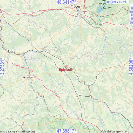
Épineuil GPS coordinates[2]
47° 52' 19.092" North, 3° 58' 44.184" East
| Map corner | latitude | longitude |
|---|---|---|
| Upper-left | 48.34147°, | 3.27581° |
| Center: | 47.87197°, | 3.97894° |
| Lower-right: | 47.39817°, | 4.68206° |
| Map W x H: | 104.9×104.9 km | = 65.2×65.2mi |
| max Lat: | 51.07786° ⇑43% North |
| Épineuil: | 47.87197° |
| min Lat: | ⇓57% South 41.3874° |
| min Long | Épineuil | max Long |
| -5.08615° | 3.97894° | 9.52242° |
| W 67.6%⇐ | ⇒32.4% E |
Elevation
Elevation of Épineuil is 165 m = 541 ft, and this is 28.7 m = 94 ft below average elevation for this country.
| Max E: |
2333 m = 7654 ft | 41.1% |
| Avg. | 193.7 m = 635 ft | |
| Épineuil | 165 m = 541 ft | |
Min E: |
-1 m = -3 ft | 58.9% |
See also: France elevation on elevation.city.
Geographical zone
Épineuil is located in North temperate zone (between Tropic of Cancer and the Arctic Circle). Distance of this North polar circle is 2078.3 km =1291.4 mi to North.| Distance of | km | miles | from Épineuil |
|---|---|---|---|
| North Pole | 4684.2 | 2910.6 | to North |
| Arctic Circle | 2078.3 | 1291.4 | to North |
| Tropic Cancer | 2716.9 | 1688.2 | to South |
| Equator | 5322.9 | 3307.5 | to South |


Nearby cities:
15 places around Épineuil: (largest is in red/bold)
• Ancy-le-Franc
17.4 km =10.8 mi,  127°
127°
• Chablis
14.9 km =9.3 mi,  244°
244°
• Chessy-les-Prés
17.5 km =10.9 mi,  344°
344°
• Ervy-le-Châtel
19.5 km =12.1 mi, 344°
• Flogny-la-Chapelle
12.1 km =7.5 mi,  316°
316°
• Germigny
20.1 km =12.5 mi,  312°
312°
• Ligny-le-Châtel
16.8 km =10.4 mi,  280°
280°
• Lézinnes
11.3 km =7 mi, 134°
• Maligny
16 km =9.9 mi,  269°
269°
• Montigny-la-Resle
22.3 km =13.9 mi, 268°
• Noyers
19.7 km =12.2 mi,  176°
176°
• Pontigny
20.2 km =12.6 mi, 280°
• Tanlay
8.5 km =5.3 mi,  110°
110°
• Tonnerre
1.8 km =1.1 mi,  192°
192°
• Vergigny
22.3 km =13.9 mi,  299°
299°
Sources, notices
• [Note1] Compared only with cities in France existing in our database
• [Src1] Map data: © OpenStreetMap contributors (CC-BY-SA)
• [Src2] Other city data from geonames.org with taken over terms of usage.
• [Src3] Geographical zone / Annual Mean Temperature by Robert A. Rohde @ Wikipedia
