Mamponteng geodata
Mamponteng (Ashanti) is a seat of a second-order administrative division; located in Ghana in Africa/Accra (GMT+0) time zone. In our database, there are 70 cities with bigger population. Compared to other cities in Ghana, 68.1% of cities are located further ↓South; 68.1% of cities are located further →East and 77.8% of cities have lower elevation than Mamponteng. Note1


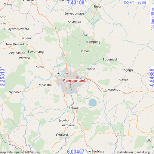
Mamponteng GPS coordinates[2]
6° 43' 59.988" North, 1° 33' 0" West
| Map corner | latitude | longitude |
|---|---|---|
| Upper-left | 7.43109°, | -2.25313° |
| Center: | 6.73333°, | -1.55° |
| Lower-right: | 6.03457°, | -0.84688° |
| Map W x H: | 155.3×155.3 km | = 96.5×96.5mi |
| max Lat: | 11.0616° ⇑31.9% North |
| Mamponteng: | 6.73333° |
| min Lat: | ⇓68.1% South 4.86641° |
| min Long | Mamponteng | max Long |
| -2.78516° | -1.55° | 1.19012° |
| W 31.9%⇐ | ⇒68.1% E |
Elevation
Elevation of Mamponteng is 274 m = 899 ft, and this is 103.8 m = 341 ft above average elevation for this country.
| Max E: |
477 m = 1565 ft | 22.2% |
| Mamponteng | 274 m 899 ft | |
| Avg. | 170.2 m = 558 ft | |
Min E: |
0 m = 0 ft | 77.8% |
See also: Ghana elevation on elevation.city.
Geographical zone
Mamponteng is located in North Torrid zone (between Equator and Tropic of Cancer). Distance of Equator is 748.7 km =465.2 mi to South.| Distance of | km | miles | from Mamponteng |
|---|---|---|---|
| North Pole | 9258.4 | 5752.9 | to North |
| Arctic Circle | 6652.5 | 4133.7 | to North |
| Tropic Cancer | 1857.2 | 1154 | to North |
| Equator | 748.7 | 465.2 | to South |


Nearby cities:
15 places around Mamponteng: (largest is in red/bold)
• Agogo
52.2 km =32.4 mi,  81°
81°
• Bechem
65.8 km =40.9 mi,  307°
307°
• Bekwai
31.4 km =19.5 mi,  185°
185°
• Bibiani
90.1 km =56 mi,  250°
250°
• Duayaw-Nkwanta
78 km =48.5 mi, 308°
• Dunkwa
89.6 km =55.7 mi,  196°
196°
• Ejura
75.6 km =47 mi,  16°
16°
• Konongo
39 km =24.2 mi,  109°
109°
• Kumasi
9.6 km =6 mi,  238°
238°
• Mampong
40.2 km =25 mi, 24°
• Mpraeso
91.4 km =56.8 mi,  99°
99°
• Obuase
60.5 km =37.6 mi, 192°
• Odumase Krobo
84 km =52.2 mi, 105°
• Tafo
7 km =4.3 mi,  268°
268°
• Techiman
103.8 km =64.5 mi,  335°
335°
Sources, notices
• [Note1] Compared only with cities in Ghana existing in our database
• [Src1] Map data: © OpenStreetMap contributors (CC-BY-SA)
• [Src2] Other city data from geonames.org with taken over terms of usage.
• [Src3] Geographical zone / Annual Mean Temperature by Robert A. Rohde @ Wikipedia
