Vytína geodata
Vytína (Peloponnese) is a populated place; located in Greece in Europe/Athens (GMT+3) time zone. With population of 906 people, there are 1124 cities with bigger population in this country. Compared to other cities in Greece, 83.5% of cities are located further ↑North; 67.9% of cities are located further →East and 99.8% of cities have lower elevation than Vytína. Note1


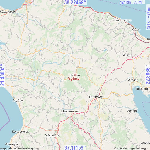
Vytína GPS coordinates[2]
37° 40' 12.828" North, 22° 11' 0.492" East
| Map corner | latitude | longitude |
|---|---|---|
| Upper-left | 38.22469°, | 21.48035° |
| Center: | 37.67023°, | 22.18347° |
| Lower-right: | 37.11159°, | 22.8866° |
| Map W x H: | 123.8×123.8 km | = 76.9×76.9mi |
| max Lat: | 41.72048° ⇑83.5% North |
| Vytína: | 37.67023° |
| min Lat: | ⇓16.5% South 34.8346° |
| min Long | Vytína | max Long |
| 19.40494° | 22.18347° | 29.59361° |
| W 32.1%⇐ | ⇒67.9% E |
Elevation
Elevation of Vytína is 1029 m = 3376 ft, and this is 860.1 m = 2822 ft above average elevation for this country.
| Max E: |
1439 m = 4721 ft | 0.2% |
| Vytína | 1029 m 3376 ft | |
| Avg. | 168.9 m = 554 ft | |
Min E: |
0 m = 0 ft | 99.8% |
See also: Greece elevation on elevation.city.
Geographical zone
Vytína is located in North temperate zone (between Tropic of Cancer and the Arctic Circle). Distance of this Northern Tropic circle is 1582.6 km =983.4 mi to South.| Distance of | km | miles | from Vytína |
|---|---|---|---|
| North Pole | 5818.5 | 3615.4 | to North |
| Arctic Circle | 3212.6 | 1996.2 | to North |
| Tropic Cancer | 1582.6 | 983.4 | to South |
| Equator | 4188.5 | 2602.6 | to South |


Nearby cities:
15 places around Vytína: (largest is in red/bold)
• Andrítsaina
32.1 km =19.9 mi,  229°
229°
• Dimitsána
15.1 km =9.4 mi,  236°
236°
• Fíkhtion
47.9 km =29.8 mi,  83°
83°
• Kallithéa
34.6 km =21.5 mi,  247°
247°
• Kalávryta
40.7 km =25.3 mi,  351°
351°
• Kandíla
20.6 km =12.8 mi,  56°
56°
• Kefalári
45.4 km =28.2 mi,  100°
100°
• Koutsopódi
46.7 km =29 mi,  88°
88°
• Langádhia
13.6 km =8.5 mi,  275°
275°
• Levídion
10 km =6.2 mi, 82°
• Lálas
40.9 km =25.4 mi, 276°
• Megalópoli
30.1 km =18.7 mi,  186°
186°
• Neméa
45.2 km =28.1 mi,  68°
68°
• Trípoli
24.9 km =15.5 mi,  136°
136°
• Vlachokerasiá
37.7 km =23.4 mi,  153°
153°
Sources, notices
• [Note1] Compared only with cities in Greece existing in our database
• [Src1] Map data: © OpenStreetMap contributors (CC-BY-SA)
• [Src2] Other city data from geonames.org with taken over terms of usage.
• [Src3] Geographical zone / Annual Mean Temperature by Robert A. Rohde @ Wikipedia
