Langádhia geodata
Langádhia (Peloponnese) is a populated place; located in Greece in Europe/Athens (GMT+3) time zone. With population of 1,363 people, there are 744 cities with bigger population in this country. Compared to other cities in Greece, 83.1% of cities are located further ↑North; 71.5% of cities are located further →East and 99% of cities have lower elevation than Langádhia. Note1


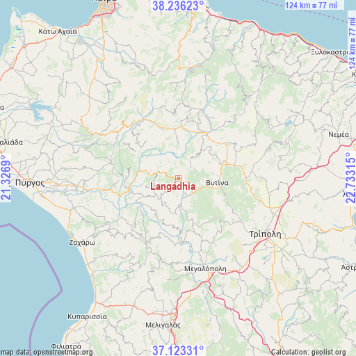
Langádhia GPS coordinates[2]
37° 40' 54.696" North, 22° 1' 48.072" East
| Map corner | latitude | longitude |
|---|---|---|
| Upper-left | 38.23623°, | 21.3269° |
| Center: | 37.68186°, | 22.03002° |
| Lower-right: | 37.12331°, | 22.73315° |
| Map W x H: | 123.7×123.7 km | = 76.9×76.9mi |
| max Lat: | 41.72048° ⇑83.1% North |
| Langádhia: | 37.68186° |
| min Lat: | ⇓16.9% South 34.8346° |
| min Long | Langádhia | max Long |
| 19.40494° | 22.03002° | 29.59361° |
| W 28.5%⇐ | ⇒71.5% E |
Elevation
Elevation of Langádhia is 935 m = 3068 ft, and this is 766.1 m = 2513 ft above average elevation for this country.
| Max E: |
1439 m = 4721 ft | 1% |
| Langádhia | 935 m 3068 ft | |
| Avg. | 168.9 m = 554 ft | |
Min E: |
0 m = 0 ft | 99% |
See also: Greece elevation on elevation.city.
Geographical zone
Langádhia is located in North temperate zone (between Tropic of Cancer and the Arctic Circle). Distance of this Northern Tropic circle is 1583.9 km =984.2 mi to South.| Distance of | km | miles | from Langádhia |
|---|---|---|---|
| North Pole | 5817.2 | 3614.6 | to North |
| Arctic Circle | 3211.3 | 1995.4 | to North |
| Tropic Cancer | 1583.9 | 984.2 | to South |
| Equator | 4189.8 | 2603.4 | to South |


Nearby cities:
15 places around Langádhia: (largest is in red/bold)
• Andrítsaina
24.6 km =15.3 mi,  206°
206°
• Archaía Olympía
35.7 km =22.2 mi,  263°
263°
• Dimitsána
9.7 km =6 mi,  174°
174°
• Goúmero
37.3 km =23.2 mi,  283°
283°
• Kallithéa
23.5 km =14.6 mi,  231°
231°
• Kandíla
32.3 km =20.1 mi,  71°
71°
• Kréstena
37.4 km =23.2 mi,  254°
254°
• Levídion
23.4 km =14.5 mi,  89°
89°
• Lálas
27.3 km =17 mi, 276°
• Makrísia
38.3 km =23.8 mi, 257°
• Megalópoli
32.7 km =20.3 mi,  162°
162°
• Plátanos
36.9 km =22.9 mi,  267°
267°
• Trípoli
36.3 km =22.6 mi,  121°
121°
• Vrína
36.7 km =22.8 mi, 250°
• Vytína
13.6 km =8.5 mi,  95°
95°
Sources, notices
• [Note1] Compared only with cities in Greece existing in our database
• [Src1] Map data: © OpenStreetMap contributors (CC-BY-SA)
• [Src2] Other city data from geonames.org with taken over terms of usage.
• [Src3] Geographical zone / Annual Mean Temperature by Robert A. Rohde @ Wikipedia
