Panchkula geodata
Panchkula (Haryana) is a seat of a second-order administrative division; located in India in Asia/Kolkata (GMT+5.5) time zone. With population of 200,000 people, there are 211 cities with bigger population in this country. Compared to other cities in India, 94.8% of cities are located further ↓South; 64.8% of cities are located further →East and 70.8% of cities have lower elevation than Panchkula. Note1


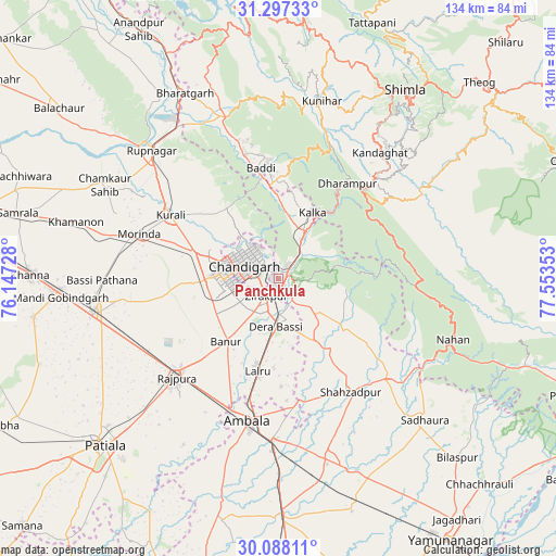
Panchkula GPS coordinates[2]
30° 41' 40.596" North, 76° 51' 1.44" East
| Map corner | latitude | longitude |
|---|---|---|
| Upper-left | 31.29733°, | 76.14728° |
| Center: | 30.69461°, | 76.8504° |
| Lower-right: | 30.08811°, | 77.55353° |
| Map W x H: | 134.5×134.5 km | = 83.6×83.6mi |
| max Lat: | 34.9274° ⇑5.2% North |
| Panchkula: | 30.69461° |
| min Lat: | ⇓94.8% South 8.09008° |
| min Long | Panchkula | max Long |
| 68.82655° | 76.8504° | 96.81° |
| W 35.2%⇐ | ⇒64.8% E |
Elevation
Elevation of Panchkula is 335 m = 1099 ft, and this is 39.4 m = 129 ft above average elevation for this country.
| Max E: |
3681 m = 12077 ft | 29.2% |
| Panchkula | 335 m 1099 ft | |
| Avg. | 295.6 m = 970 ft | |
Min E: |
1 m = 3 ft | 70.8% |
See also: Panchkula elevation on elevation.city.
Geographical zone
Panchkula is located in North temperate zone (between Tropic of Cancer and the Arctic Circle). Distance of this Northern Tropic circle is 807 km =501.4 mi to South.| Distance of | km | miles | from Panchkula |
|---|---|---|---|
| North Pole | 6594.1 | 4097.4 | to North |
| Arctic Circle | 3988.3 | 2478.2 | to North |
| Tropic Cancer | 807 | 501.4 | to South |
| Equator | 3412.9 | 2120.7 | to South |


Nearby cities:
15 places around Panchkula: (largest is in red/bold)
• Baddi
29.8 km =18.5 mi,  349°
349°
• Banūr
20 km =12.4 mi,  218°
218°
• Basi
11.9 km =7.4 mi,  182°
182°
• Chandigarh
7.5 km =4.7 mi,  308°
308°
• Dagshai
28.6 km =17.8 mi,  42°
42°
• Kasauli
25.2 km =15.7 mi,  25°
25°
• Kharar
20.3 km =12.6 mi,  286°
286°
• Kālka
18.3 km =11.4 mi, 28°
• Mohali
12.4 km =7.7 mi,  262°
262°
• Morinda
35.2 km =21.9 mi, 287°
• Parwanoo
19.1 km =11.9 mi, 33°
• Pinjaur
13.3 km =8.3 mi, 29°
• Rājpura
34.4 km =21.4 mi,  225°
225°
• Sabāthu
34 km =21.1 mi,  23°
23°
• Solan
34.3 km =21.3 mi,  45°
45°
Sources, notices
• [Note1] Compared only with cities in India existing in our database
• [Src1] Map data: © OpenStreetMap contributors (CC-BY-SA)
• [Src2] Other city data from geonames.org with taken over terms of usage.
• [Src3] Geographical zone / Annual Mean Temperature by Robert A. Rohde @ Wikipedia
