Jaigaon geodata
Jaigaon (West Bengal) is a populated place; located in India in Asia/Kolkata (GMT+5.5) time zone. With population of 158,664 people, there are 274 cities with bigger population in this country. Compared to other cities in India, 77.2% of cities are located further ↓South; 95.3% of cities are located further ←West and 51% of cities have higher elevation than Jaigaon. Note1


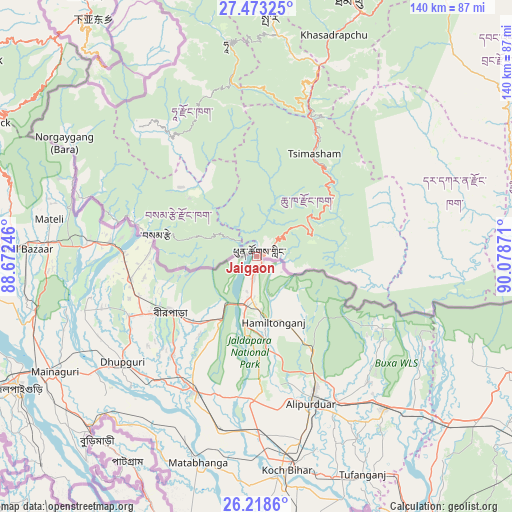
Jaigaon GPS coordinates[2]
26° 50' 51.576" North, 89° 22' 32.088" East
| Map corner | latitude | longitude |
|---|---|---|
| Upper-left | 27.47325°, | 88.67246° |
| Center: | 26.84766°, | 89.37558° |
| Lower-right: | 26.2186°, | 90.07871° |
| Map W x H: | 139.5×139.5 km | = 86.7×86.7mi |
| max Lat: | 34.9274° ⇑22.8% North |
| Jaigaon: | 26.84766° |
| min Lat: | ⇓77.2% South 8.09008° |
| min Long | Jaigaon | max Long |
| 68.82655° | 89.37558° | 96.81° |
| W 95.3%⇐ | ⇒4.7% E |
Elevation
Elevation of Jaigaon is 196 m = 643 ft, and this is 99.6 m = 327 ft below average elevation for this country.
| Max E: |
3681 m = 12077 ft | 51% |
| Avg. | 295.6 m = 970 ft | |
| Jaigaon | 196 m = 643 ft | |
Min E: |
1 m = 3 ft | 49% |
See also: Jaigaon elevation on elevation.city.
Geographical zone
Jaigaon is located in North temperate zone (between Tropic of Cancer and the Arctic Circle). Distance of this Northern Tropic circle is 379.3 km =235.7 mi to South.| Distance of | km | miles | from Jaigaon |
|---|---|---|---|
| North Pole | 7021.9 | 4363.2 | to North |
| Arctic Circle | 4416 | 2744 | to North |
| Tropic Cancer | 379.3 | 235.7 | to South |
| Equator | 2985.2 | 1854.9 | to South |


Nearby cities:
15 places around Jaigaon: (largest is in red/bold)
• Alīpur Duār
43.1 km =26.8 mi,  160°
160°
• Birpara
27.9 km =17.3 mi,  235°
235°
• Dhupgāri
46.5 km =28.9 mi,  231°
231°
• Dīnhāta
79.7 km =49.5 mi,  173°
173°
• Fālākāta
40.3 km =25 mi,  205°
205°
• Goshaingaon
74 km =46 mi,  127°
127°
• Goyerkāta
38.4 km =23.9 mi, 244°
• Hāsimāra
11.4 km =7.1 mi,  190°
190°
• Jalpāiguri
73.7 km =45.8 mi, 240°
• Koch Bihār
58.5 km =36.4 mi, 173°
• Latabāri
77 km =47.8 mi,  141°
141°
• Maināguri
63.6 km =39.5 mi, 240°
• Mātābhānga
58.4 km =36.3 mi,  195°
195°
• Odlābāri
74 km =46 mi,  269°
269°
• Tufānganj
65.7 km =40.8 mi,  153°
153°
Sources, notices
• [Note1] Compared only with cities in India existing in our database
• [Src1] Map data: © OpenStreetMap contributors (CC-BY-SA)
• [Src2] Other city data from geonames.org with taken over terms of usage.
• [Src3] Geographical zone / Annual Mean Temperature by Robert A. Rohde @ Wikipedia
