Patnāgarh geodata
Patnāgarh (Odisha) is a populated place; located in India in Asia/Kolkata (GMT+5.5) time zone. With population of 19,582 people, there are 2070 cities with bigger population in this country. Compared to other cities in India, 63% of cities are located further ↑North; 79.8% of cities are located further ←West and 59.3% of cities have lower elevation than Patnāgarh. Note1


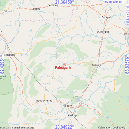
Patnāgarh GPS coordinates[2]
20° 42' 29.988" North, 83° 7' 57.468" East
| Map corner | latitude | longitude |
|---|---|---|
| Upper-left | 21.36459°, | 82.42951° |
| Center: | 20.70833°, | 83.13263° |
| Lower-right: | 20.04922°, | 83.83576° |
| Map W x H: | 146.3×146.3 km | = 90.9×90.9mi |
| max Lat: | 34.9274° ⇑63% North |
| Patnāgarh: | 20.70833° |
| min Lat: | ⇓37% South 8.09008° |
| min Long | Patnāgarh | max Long |
| 68.82655° | 83.13263° | 96.81° |
| W 79.8%⇐ | ⇒20.2% E |
Elevation
Elevation of Patnāgarh is 246 m = 807 ft, and this is 49.6 m = 163 ft below average elevation for this country.
| Max E: |
3681 m = 12077 ft | 40.7% |
| Avg. | 295.6 m = 970 ft | |
| Patnāgarh | 246 m = 807 ft | |
Min E: |
1 m = 3 ft | 59.3% |
See also: India elevation on elevation.city.
Geographical zone
Patnāgarh is located in North Torrid zone (between Equator and Tropic of Cancer). Distance of this Northern Tropic circle is 303.4 km =188.5 mi to North.| Distance of | km | miles | from Patnāgarh |
|---|---|---|---|
| North Pole | 7704.5 | 4787.4 | to North |
| Arctic Circle | 5098.6 | 3168.1 | to North |
| Tropic Cancer | 303.4 | 188.5 | to North |
| Equator | 2302.6 | 1430.8 | to South |


Nearby cities:
15 places around Patnāgarh: (largest is in red/bold)
• Balāngīr
37.2 km =23.1 mi,  90°
90°
• Bargarh
85.9 km =53.4 mi,  35°
35°
• Barpāli
71.4 km =44.4 mi, 41°
• Basna
70.9 km =44.1 mi,  333°
333°
• Bhawānipatna
89.2 km =55.4 mi,  177°
177°
• Binka
78.9 km =49 mi,  63°
63°
• Kantābānji
34.7 km =21.6 mi,  219°
219°
• Kesinga
58.6 km =36.4 mi,  171°
171°
• Kharhiāl
60.7 km =37.7 mi, 219°
• Padampur
33.1 km =20.6 mi,  347°
347°
• Pithora
87.8 km =54.6 mi,  313°
313°
• Saraipali
68.8 km =42.8 mi, 349°
• Sonepur
82.7 km =51.4 mi,  80°
80°
• Tarabha
56.4 km =35 mi, 87°
• Titlāgarh
46.6 km =29 mi, 177°
Sources, notices
• [Note1] Compared only with cities in India existing in our database
• [Src1] Map data: © OpenStreetMap contributors (CC-BY-SA)
• [Src2] Other city data from geonames.org with taken over terms of usage.
• [Src3] Geographical zone / Annual Mean Temperature by Robert A. Rohde @ Wikipedia
