Jīnd geodata
Jīnd (Haryana) is a populated place; located in India in Asia/Kolkata (GMT+5.5) time zone. With population of 161,260 people, there are 271 cities with bigger population in this country. Compared to other cities in India, 90.2% of cities are located further ↓South; 70.4% of cities are located further →East and 56.7% of cities have lower elevation than Jīnd. Note1


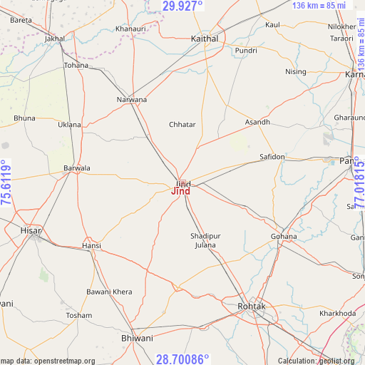
Jīnd GPS coordinates[2]
29° 18' 56.772" North, 76° 18' 54.072" East
| Map corner | latitude | longitude |
|---|---|---|
| Upper-left | 29.927°, | 75.6119° |
| Center: | 29.31577°, | 76.31502° |
| Lower-right: | 28.70086°, | 77.01815° |
| Map W x H: | 136.3×136.3 km | = 84.7×84.7mi |
| max Lat: | 34.9274° ⇑9.8% North |
| Jīnd: | 29.31577° |
| min Lat: | ⇓90.2% South 8.09008° |
| min Long | Jīnd | max Long |
| 68.82655° | 76.31502° | 96.81° |
| W 29.6%⇐ | ⇒70.4% E |
Elevation
Elevation of Jīnd is 233 m = 764 ft, and this is 62.6 m = 205 ft below average elevation for this country.
| Max E: |
3681 m = 12077 ft | 43.3% |
| Avg. | 295.6 m = 970 ft | |
| Jīnd | 233 m = 764 ft | |
Min E: |
1 m = 3 ft | 56.7% |
See also: Jīnd elevation on elevation.city.
Geographical zone
Jīnd is located in North temperate zone (between Tropic of Cancer and the Arctic Circle). Distance of this Northern Tropic circle is 653.7 km =406.2 mi to South.| Distance of | km | miles | from Jīnd |
|---|---|---|---|
| North Pole | 6747.5 | 4192.7 | to North |
| Arctic Circle | 4141.6 | 2573.5 | to North |
| Tropic Cancer | 653.7 | 406.2 | to South |
| Equator | 3259.6 | 2025.4 | to South |


Nearby cities:
15 places around Jīnd: (largest is in red/bold)
• Bara Uchāna
21.5 km =13.4 mi,  321°
321°
• Barwāla
39.9 km =24.8 mi,  278°
278°
• Gohāna
42.5 km =26.4 mi,  117°
117°
• Hānsi
41.6 km =25.8 mi,  235°
235°
• Kaithal
54.6 km =33.9 mi,  8°
8°
• Kalānaur
54.8 km =34.1 mi,  171°
171°
• Maham
38.6 km =24 mi,  182°
182°
• Narwāna
36.8 km =22.9 mi,  328°
328°
• Nārnaund
19.8 km =12.3 mi, 237°
• Pūndri
54.9 km =34.1 mi,  25°
25°
• Rohtak
53.9 km =33.5 mi,  150°
150°
• Safidon
35.9 km =22.3 mi,  73°
73°
• Shādīpur Julāna
23.1 km =14.4 mi,  157°
157°
• Uklāna
47.6 km =29.6 mi,  297°
297°
• Āsandh
36.2 km =22.5 mi,  50°
50°
Sources, notices
• [Note1] Compared only with cities in India existing in our database
• [Src1] Map data: © OpenStreetMap contributors (CC-BY-SA)
• [Src2] Other city data from geonames.org with taken over terms of usage.
• [Src3] Geographical zone / Annual Mean Temperature by Robert A. Rohde @ Wikipedia
