Bara Uchāna geodata
Bara Uchāna (Haryana) is a populated place; located in India in Asia/Kolkata (GMT+5.5) time zone. With population of 15,830 people, there are 2386 cities with bigger population in this country. Compared to other cities in India, 91% of cities are located further ↓South; 71.9% of cities are located further →East and 55.8% of cities have lower elevation than Bara Uchāna. Note1


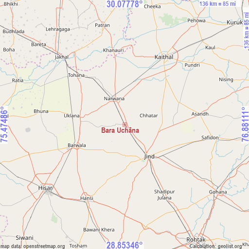
Bara Uchāna GPS coordinates[2]
29° 28' 2.892" North, 76° 10' 40.728" East
| Map corner | latitude | longitude |
|---|---|---|
| Upper-left | 30.07778°, | 75.47486° |
| Center: | 29.46747°, | 76.17798° |
| Lower-right: | 28.85346°, | 76.88111° |
| Map W x H: | 136.1×136.1 km | = 84.6×84.6mi |
| max Lat: | 34.9274° ⇑9% North |
| Bara Uchāna: | 29.46747° |
| min Lat: | ⇓91% South 8.09008° |
| min Long | Bara Uchāna | max Long |
| 68.82655° | 76.17798° | 96.81° |
| W 28.1%⇐ | ⇒71.9% E |
Elevation
Elevation of Bara Uchāna is 229 m = 751 ft, and this is 66.6 m = 219 ft below average elevation for this country.
| Max E: |
3681 m = 12077 ft | 44.2% |
| Avg. | 295.6 m = 970 ft | |
| Bara Uchāna | 229 m = 751 ft | |
Min E: |
1 m = 3 ft | 55.8% |
See also: India elevation on elevation.city.
Geographical zone
Bara Uchāna is located in North temperate zone (between Tropic of Cancer and the Arctic Circle). Distance of this Northern Tropic circle is 670.6 km =416.7 mi to South.| Distance of | km | miles | from Bara Uchāna |
|---|---|---|---|
| North Pole | 6730.6 | 4182.2 | to North |
| Arctic Circle | 4124.7 | 2563 | to North |
| Tropic Cancer | 670.6 | 416.7 | to South |
| Equator | 3276.5 | 2035.9 | to South |


Nearby cities:
15 places around Bara Uchāna: (largest is in red/bold)
• Akālgarh
48.1 km =29.9 mi,  324°
324°
• Barwāla
28.4 km =17.6 mi,  246°
246°
• Gorakhpur
49 km =30.4 mi,  267°
267°
• Hānsi
45.7 km =28.4 mi,  207°
207°
• Inda Chhoi
42.1 km =26.2 mi,  297°
297°
• Jīnd
21.5 km =13.4 mi,  141°
141°
• Kaithal
42.9 km =26.7 mi,  29°
29°
• Narwāna
15.7 km =9.8 mi,  338°
338°
• Nārnaund
27.7 km =17.2 mi,  187°
187°
• Pūndri
49.3 km =30.6 mi,  48°
48°
• Safidon
48.2 km =30 mi,  98°
98°
• Shādīpur Julāna
44.1 km =27.4 mi,  150°
150°
• Tohāna
38 km =23.6 mi, 315°
• Uklāna
29.4 km =18.3 mi,  279°
279°
• Āsandh
41.8 km =26 mi,  81°
81°
Sources, notices
• [Note1] Compared only with cities in India existing in our database
• [Src1] Map data: © OpenStreetMap contributors (CC-BY-SA)
• [Src2] Other city data from geonames.org with taken over terms of usage.
• [Src3] Geographical zone / Annual Mean Temperature by Robert A. Rohde @ Wikipedia
