Jejūri geodata
Jejūri (Maharashtra) is a populated place; located in India in Asia/Kolkata (GMT+5.5) time zone. With population of 14,063 people, there are 2559 cities with bigger population in this country. Compared to other cities in India, 71.1% of cities are located further ↑North; 88.6% of cities are located further →East and 92.7% of cities have lower elevation than Jejūri. Note1


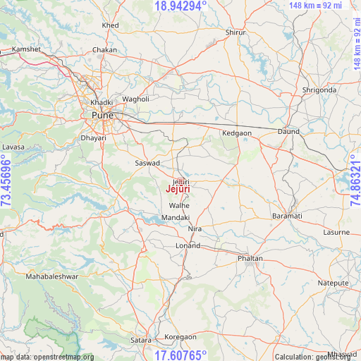
Jejūri GPS coordinates[2]
18° 16' 35.688" North, 74° 9' 36.288" East
| Map corner | latitude | longitude |
|---|---|---|
| Upper-left | 18.94294°, | 73.45696° |
| Center: | 18.27658°, | 74.16008° |
| Lower-right: | 17.60765°, | 74.86321° |
| Map W x H: | 148.5×148.5 km | = 92.3×92.3mi |
| max Lat: | 34.9274° ⇑71.1% North |
| Jejūri: | 18.27658° |
| min Lat: | ⇓28.9% South 8.09008° |
| min Long | Jejūri | max Long |
| 68.82655° | 74.16008° | 96.81° |
| W 11.4%⇐ | ⇒88.6% E |
Elevation
Elevation of Jejūri is 729 m = 2392 ft, and this is 433.4 m = 1422 ft above average elevation for this country.
| Max E: |
3681 m = 12077 ft | 7.3% |
| Jejūri | 729 m 2392 ft | |
| Avg. | 295.6 m = 970 ft | |
Min E: |
1 m = 3 ft | 92.7% |
See also: India elevation on elevation.city.
Geographical zone
Jejūri is located in North Torrid zone (between Equator and Tropic of Cancer). Distance of this Northern Tropic circle is 573.8 km =356.5 mi to North.| Distance of | km | miles | from Jejūri |
|---|---|---|---|
| North Pole | 7974.9 | 4955.4 | to North |
| Arctic Circle | 5369 | 3336.1 | to North |
| Tropic Cancer | 573.8 | 356.5 | to North |
| Equator | 2032.2 | 1262.8 | to South |


Nearby cities:
15 places around Jejūri: (largest is in red/bold)
• Alandi
52.4 km =32.6 mi,  328°
328°
• Bhor
36.4 km =22.6 mi,  246°
246°
• Bārāmati
46.2 km =28.7 mi,  107°
107°
• Daund
49.4 km =30.7 mi,  64°
64°
• Khadki
45.5 km =28.3 mi,  314°
314°
• Kharakvasla
44.5 km =27.7 mi,  294°
294°
• Khed
33.8 km =21 mi,  281°
281°
• Koregaon
42.4 km =26.3 mi,  345°
345°
• Lohogaon
43.5 km =27 mi, 325°
• Phaltan
42.8 km =26.6 mi,  137°
137°
• Pune
42 km =26.1 mi, 310°
• Shirwal
23.8 km =14.8 mi,  233°
233°
• Shivaji Nagar
43 km =26.7 mi, 310°
• Sāsvad
15.5 km =9.6 mi,  298°
298°
• Wai
45.9 km =28.5 mi,  218°
218°
Sources, notices
• [Note1] Compared only with cities in India existing in our database
• [Src1] Map data: © OpenStreetMap contributors (CC-BY-SA)
• [Src2] Other city data from geonames.org with taken over terms of usage.
• [Src3] Geographical zone / Annual Mean Temperature by Robert A. Rohde @ Wikipedia
