Bārāmati geodata
Bārāmati (Maharashtra) is a populated place; located in India in Asia/Kolkata (GMT+5.5) time zone. With population of 53,919 people, there are 822 cities with bigger population in this country. Compared to other cities in India, 71.4% of cities are located further ↑North; 86.2% of cities are located further →East and 85.2% of cities have lower elevation than Bārāmati. Note1


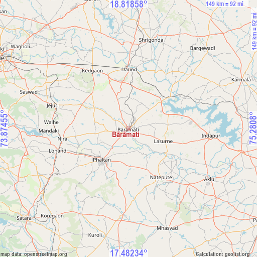
Bārāmati GPS coordinates[2]
18° 9' 6.264" North, 74° 34' 39.612" East
| Map corner | latitude | longitude |
|---|---|---|
| Upper-left | 18.81858°, | 73.87455° |
| Center: | 18.15174°, | 74.57767° |
| Lower-right: | 17.48234°, | 75.2808° |
| Map W x H: | 148.6×148.6 km | = 92.3×92.3mi |
| max Lat: | 34.9274° ⇑71.4% North |
| Bārāmati: | 18.15174° |
| min Lat: | ⇓28.6% South 8.09008° |
| min Long | Bārāmati | max Long |
| 68.82655° | 74.57767° | 96.81° |
| W 13.8%⇐ | ⇒86.2% E |
Elevation
Elevation of Bārāmati is 552 m = 1811 ft, and this is 256.4 m = 841 ft above average elevation for this country.
| Max E: |
3681 m = 12077 ft | 14.8% |
| Bārāmati | 552 m 1811 ft | |
| Avg. | 295.6 m = 970 ft | |
Min E: |
1 m = 3 ft | 85.2% |
See also: Bārāmati elevation on elevation.city.
Geographical zone
Bārāmati is located in North Torrid zone (between Equator and Tropic of Cancer). Distance of this Northern Tropic circle is 587.6 km =365.1 mi to North.| Distance of | km | miles | from Bārāmati |
|---|---|---|---|
| North Pole | 7988.8 | 4964 | to North |
| Arctic Circle | 5382.9 | 3344.8 | to North |
| Tropic Cancer | 587.6 | 365.1 | to North |
| Equator | 2018.3 | 1254.1 | to South |


Nearby cities:
15 places around Bārāmati: (largest is in red/bold)
• Bhigvan
26 km =16.2 mi,  50°
50°
• Bhor
77.6 km =48.2 mi,  269°
269°
• Daund
34.9 km =21.7 mi,  1°
1°
• Jejūri
46.2 km =28.7 mi,  287°
287°
• Kalas
22.6 km =14 mi,  84°
84°
• Karmāla
71 km =44.1 mi,  66°
66°
• Koregaon
77.5 km =48.2 mi,  315°
315°
• Mhāsvād
61.8 km =38.4 mi,  158°
158°
• Phaltan
23.6 km =14.7 mi,  220°
220°
• Rahimatpur
74 km =46 mi,  212°
212°
• Shirwal
63.4 km =39.4 mi, 269°
• Shrīgonda
53.1 km =33 mi,  13°
13°
• Sirūr
78.1 km =48.5 mi,  344°
344°
• Sāsvad
61.5 km =38.2 mi, 290°
• Wai
75.9 km =47.2 mi,  253°
253°
Sources, notices
• [Note1] Compared only with cities in India existing in our database
• [Src1] Map data: © OpenStreetMap contributors (CC-BY-SA)
• [Src2] Other city data from geonames.org with taken over terms of usage.
• [Src3] Geographical zone / Annual Mean Temperature by Robert A. Rohde @ Wikipedia
