Deori Khās geodata
Deori Khās (Madhya Pradesh) is a populated place; located in India in Asia/Kolkata (GMT+5.5) time zone. With population of 24,934 people, there are 1708 cities with bigger population in this country. Compared to other cities in India, 54.2% of cities are located further ↓South; 59.1% of cities are located further ←West and 77.9% of cities have lower elevation than Deori Khās. Note1


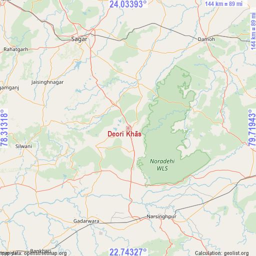
Deori Khās GPS coordinates[2]
23° 23' 24.612" North, 79° 0' 58.68" East
| Map corner | latitude | longitude |
|---|---|---|
| Upper-left | 24.03393°, | 78.31318° |
| Center: | 23.39017°, | 79.0163° |
| Lower-right: | 22.74327°, | 79.71943° |
| Map W x H: | 143.5×143.5 km | = 89.2×89.2mi |
| max Lat: | 34.9274° ⇑45.8% North |
| Deori Khās: | 23.39017° |
| min Lat: | ⇓54.2% South 8.09008° |
| min Long | Deori Khās | max Long |
| 68.82655° | 79.0163° | 96.81° |
| W 59.1%⇐ | ⇒40.9% E |
Elevation
Elevation of Deori Khās is 429 m = 1407 ft, and this is 133.4 m = 438 ft above average elevation for this country.
| Max E: |
3681 m = 12077 ft | 22.1% |
| Deori Khās | 429 m 1407 ft | |
| Avg. | 295.6 m = 970 ft | |
Min E: |
1 m = 3 ft | 77.9% |
See also: India elevation on elevation.city.
Geographical zone
Deori Khās is located in North Torrid zone (between Equator and Tropic of Cancer). Distance of this Northern Tropic circle is 5.2 km =3.2 mi to North.| Distance of | km | miles | from Deori Khās |
|---|---|---|---|
| North Pole | 7406.3 | 4602.1 | to North |
| Arctic Circle | 4800.4 | 2982.8 | to North |
| Tropic Cancer | 5.2 | 3.2 | to North |
| Equator | 2600.7 | 1616 | to South |


Nearby cities:
15 places around Deori Khās: (largest is in red/bold)
• Chichli
64.9 km =40.3 mi,  197°
197°
• Damoh
65.6 km =40.8 mi,  41°
41°
• Dhāna
42.7 km =26.5 mi,  338°
338°
• Garhākota
45.1 km =28 mi,  16°
16°
• Gādarwāra
57 km =35.4 mi, 204°
• Jaithāri
45.7 km =28.4 mi,  243°
243°
• Kareli
53 km =32.9 mi,  174°
174°
• Karrāpur
64 km =39.8 mi,  346°
346°
• Narsimhapur
51.9 km =32.2 mi,  160°
160°
• Patharia
59.4 km =36.9 mi, 17°
• Rehli
27.9 km =17.3 mi,  9°
9°
• Saugor
57.3 km =35.6 mi,  330°
330°
• Shāhpur
56.1 km =34.9 mi,  3°
3°
• Tendūkheda
53.4 km =33.2 mi,  89°
89°
• Udaipura
62.4 km =38.8 mi, 235°
Sources, notices
• [Note1] Compared only with cities in India existing in our database
• [Src1] Map data: © OpenStreetMap contributors (CC-BY-SA)
• [Src2] Other city data from geonames.org with taken over terms of usage.
• [Src3] Geographical zone / Annual Mean Temperature by Robert A. Rohde @ Wikipedia
