Chānda geodata
Chānda (Maharashtra) is a populated place; located in India in Asia/Kolkata (GMT+5.5) time zone. With population of 328,351 people, there are 131 cities with bigger population in this country. Compared to other cities in India, 65.3% of cities are located further ↑North; 61.7% of cities are located further ←West and 52.7% of cities have higher elevation than Chānda. Note1


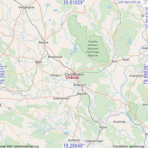
Chānda GPS coordinates[2]
19° 57' 2.736" North, 79° 17' 42.828" East
| Map corner | latitude | longitude |
|---|---|---|
| Upper-left | 20.61029°, | 78.59211° |
| Center: | 19.95076°, | 79.29523° |
| Lower-right: | 19.28846°, | 79.99836° |
| Map W x H: | 147×147 km | = 91.3×91.3mi |
| max Lat: | 34.9274° ⇑65.3% North |
| Chānda: | 19.95076° |
| min Lat: | ⇓34.7% South 8.09008° |
| min Long | Chānda | max Long |
| 68.82655° | 79.29523° | 96.81° |
| W 61.7%⇐ | ⇒38.3% E |
Elevation
Elevation of Chānda is 186 m = 610 ft, and this is 109.6 m = 360 ft below average elevation for this country.
| Max E: |
3681 m = 12077 ft | 52.7% |
| Avg. | 295.6 m = 970 ft | |
| Chānda | 186 m = 610 ft | |
Min E: |
1 m = 3 ft | 47.3% |
See also: Chānda elevation on elevation.city.
Geographical zone
Chānda is located in North Torrid zone (between Equator and Tropic of Cancer). Distance of this Northern Tropic circle is 387.6 km =240.8 mi to North.| Distance of | km | miles | from Chānda |
|---|---|---|---|
| North Pole | 7788.7 | 4839.7 | to North |
| Arctic Circle | 5182.9 | 3220.5 | to North |
| Tropic Cancer | 387.6 | 240.8 | to North |
| Equator | 2218.3 | 1378.4 | to South |


Nearby cities:
15 places around Chānda: (largest is in red/bold)
• Asifābād
65.9 km =40.9 mi,  181°
181°
• Ballālpur
12.7 km =7.9 mi,  155°
155°
• Chāndur
27.3 km =17 mi,  208°
208°
• Durgāpur
6.1 km =3.8 mi,  7°
7°
• Ghugus
19.2 km =11.9 mi,  265°
265°
• Hinganghāt
81.7 km =50.8 mi,  324°
324°
• Kagaznāgār
71.1 km =44.2 mi,  165°
165°
• Kothāpet
69.5 km =43.2 mi, 163°
• Mūl
42.2 km =26.2 mi,  71°
71°
• Rājur
45.6 km =28.3 mi,  292°
292°
• Rājūra
20.4 km =12.7 mi, 159°
• Sirpur
60.1 km =37.3 mi,  150°
150°
• Wani
37.6 km =23.4 mi, 287°
• Warora
43.5 km =27 mi, 315°
• Ādilābād
85.3 km =53 mi,  248°
248°
Sources, notices
• [Note1] Compared only with cities in India existing in our database
• [Src1] Map data: © OpenStreetMap contributors (CC-BY-SA)
• [Src2] Other city data from geonames.org with taken over terms of usage.
• [Src3] Geographical zone / Annual Mean Temperature by Robert A. Rohde @ Wikipedia
