Bathinda geodata
Bathinda (Punjab) is a populated place; located in India in Asia/Kolkata (GMT+5.5) time zone. With population of 242,800 people, there are 177 cities with bigger population in this country. Compared to other cities in India, 93.5% of cities are located further ↓South; 83.2% of cities are located further →East and 52.6% of cities have lower elevation than Bathinda. Note1


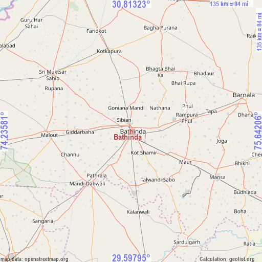
Bathinda GPS coordinates[2]
30° 12' 26.892" North, 74° 56' 20.148" East
| Map corner | latitude | longitude |
|---|---|---|
| Upper-left | 30.81323°, | 74.23581° |
| Center: | 30.20747°, | 74.93893° |
| Lower-right: | 29.59795°, | 75.64206° |
| Map W x H: | 135.1×135.1 km | = 83.9×83.9mi |
| max Lat: | 34.9274° ⇑6.5% North |
| Bathinda: | 30.20747° |
| min Lat: | ⇓93.5% South 8.09008° |
| min Long | Bathinda | max Long |
| 68.82655° | 74.93893° | 96.81° |
| W 16.8%⇐ | ⇒83.2% E |
Elevation
Elevation of Bathinda is 216 m = 709 ft, and this is 79.6 m = 261 ft below average elevation for this country.
| Max E: |
3681 m = 12077 ft | 47.4% |
| Avg. | 295.6 m = 970 ft | |
| Bathinda | 216 m = 709 ft | |
Min E: |
1 m = 3 ft | 52.6% |
See also: Bathinda elevation on elevation.city.
Geographical zone
Bathinda is located in North temperate zone (between Tropic of Cancer and the Arctic Circle). Distance of this Northern Tropic circle is 752.8 km =467.8 mi to South.| Distance of | km | miles | from Bathinda |
|---|---|---|---|
| North Pole | 6648.3 | 4131.1 | to North |
| Arctic Circle | 4042.4 | 2511.8 | to North |
| Tropic Cancer | 752.8 | 467.8 | to South |
| Equator | 3358.8 | 2087.1 | to South |


Nearby cities:
15 places around Bathinda: (largest is in red/bold)
• Barnāla
61.4 km =38.2 mi,  72°
72°
• Bhadaur
48 km =29.8 mi,  51°
51°
• Bhīkhi
59.6 km =37 mi,  106°
106°
• Bāgha Purāna
55.6 km =34.5 mi,  15°
15°
• Dabwāli
34.6 km =21.5 mi,  213°
213°
• Farīdkot
54.8 km =34.1 mi,  341°
341°
• Giddarbāha
26.2 km =16.3 mi,  268°
268°
• Jaito
27.5 km =17.1 mi,  350°
350°
• Kotkapura
42.9 km =26.7 mi, 346°
• Kālānwāli
41.5 km =25.8 mi,  175°
175°
• Malaut
43.9 km =27.3 mi, 270°
• Maur
32.9 km =20.4 mi, 114°
• Muktsar
50.2 km =31.2 mi,  306°
306°
• Mānsa
50.7 km =31.5 mi,  118°
118°
• Rāmpura
29.5 km =18.3 mi,  79°
79°
Sources, notices
• [Note1] Compared only with cities in India existing in our database
• [Src1] Map data: © OpenStreetMap contributors (CC-BY-SA)
• [Src2] Other city data from geonames.org with taken over terms of usage.
• [Src3] Geographical zone / Annual Mean Temperature by Robert A. Rohde @ Wikipedia
