Barhi geodata
Barhi (Madhya Pradesh) is a populated place; located in India in Asia/Kolkata (GMT+5.5) time zone. With population of 12,136 people, there are 2727 cities with bigger population in this country. Compared to other cities in India, 57.7% of cities are located further ↓South; 72.3% of cities are located further ←West and 74.8% of cities have lower elevation than Barhi. Note1


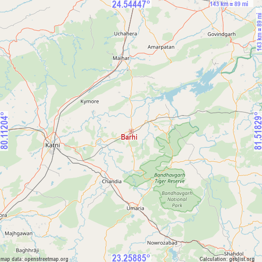
Barhi GPS coordinates[2]
23° 54' 11.736" North, 80° 48' 54.576" East
| Map corner | latitude | longitude |
|---|---|---|
| Upper-left | 24.54447°, | 80.11204° |
| Center: | 23.90326°, | 80.81516° |
| Lower-right: | 23.25885°, | 81.51829° |
| Map W x H: | 142.9×142.9 km | = 88.8×88.8mi |
| max Lat: | 34.9274° ⇑42.3% North |
| Barhi: | 23.90326° |
| min Lat: | ⇓57.7% South 8.09008° |
| min Long | Barhi | max Long |
| 68.82655° | 80.81516° | 96.81° |
| W 72.3%⇐ | ⇒27.7% E |
Elevation
Elevation of Barhi is 383 m = 1257 ft, and this is 87.4 m = 287 ft above average elevation for this country.
| Max E: |
3681 m = 12077 ft | 25.2% |
| Barhi | 383 m 1257 ft | |
| Avg. | 295.6 m = 970 ft | |
Min E: |
1 m = 3 ft | 74.8% |
See also: India elevation on elevation.city.
Geographical zone
Barhi is located in North temperate zone (between Tropic of Cancer and the Arctic Circle). Distance of this Northern Tropic circle is 51.9 km =32.2 mi to South.| Distance of | km | miles | from Barhi |
|---|---|---|---|
| North Pole | 7349.3 | 4566.6 | to North |
| Arctic Circle | 4743.4 | 2947.4 | to North |
| Tropic Cancer | 51.9 | 32.2 | to South |
| Equator | 2657.8 | 1651.5 | to South |


Nearby cities:
15 places around Barhi: (largest is in red/bold)
• Amarpātan
48.5 km =30.1 mi,  19°
19°
• Beohāri
58.8 km =36.5 mi,  76°
76°
• Chandia
29.5 km =18.3 mi,  201°
201°
• Govindgarh
71.9 km =44.7 mi,  42°
42°
• Jaisinghnagar
63.4 km =39.4 mi,  112°
112°
• Madhogarh
74.1 km =46 mi,  7°
7°
• Maihar
40.7 km =25.3 mi,  352°
352°
• Murwāra
43.4 km =27 mi,  260°
260°
• Nāgod
77.5 km =48.2 mi,  342°
342°
• Pawai
77.6 km =48.2 mi,  301°
301°
• Pāli
64.3 km =40 mi,  158°
158°
• Rewa
85.1 km =52.9 mi,  34°
34°
• Satna
75 km =46.6 mi,  0°
0°
• Sihorā
85.9 km =53.4 mi,  237°
237°
• Umaria
42.1 km =26.2 mi,  176°
176°
Sources, notices
• [Note1] Compared only with cities in India existing in our database
• [Src1] Map data: © OpenStreetMap contributors (CC-BY-SA)
• [Src2] Other city data from geonames.org with taken over terms of usage.
• [Src3] Geographical zone / Annual Mean Temperature by Robert A. Rohde @ Wikipedia
