Sāmarrā’ geodata
Sāmarrā’ (Salah ad Din) is a seat of a second-order administrative division; located in Iraq in Asia/Baghdad (GMT+3) time zone. With population of 158,508 people, there are 19 cities with bigger population in this country. Compared to other cities in Iraq, 51.4% of cities are located further ↑North; 70.4% of cities are located further →East and 54.2% of cities have higher elevation than Sāmarrā’. Note1


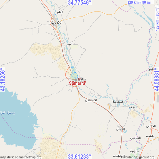
Sāmarrā’ GPS coordinates[2]
34° 11' 45.24" North, 43° 53' 8.448" East
| Map corner | latitude | longitude |
|---|---|---|
| Upper-left | 34.77546°, | 43.18256° |
| Center: | 34.1959°, | 43.88568° |
| Lower-right: | 33.61233°, | 44.58881° |
| Map W x H: | 129.3×129.3 km | = 80.3×80.3mi |
| max Lat: | 37.22781° ⇑51.4% North |
| Sāmarrā’: | 34.1959° |
| min Lat: | ⇓48.6% South 29.97421° |
| min Long | Sāmarrā’ | max Long |
| 40.28586° | 43.88568° | 48.47309° |
| W 29.6%⇐ | ⇒70.4% E |
Elevation
Elevation of Sāmarrā’ is 80 m = 262 ft, and this is 213 m = 699 ft below average elevation for this country.
| Max E: |
1316 m = 4318 ft | 54.2% |
| Avg. | 293 m = 961 ft | |
| Sāmarrā’ | 80 m = 262 ft | |
Min E: |
1 m = 3 ft | 45.8% |
See also: Sāmarrā’ elevation on elevation.city.
Geographical zone
Sāmarrā’ is located in North temperate zone (between Tropic of Cancer and the Arctic Circle). Distance of this Northern Tropic circle is 1196.3 km =743.3 mi to South.| Distance of | km | miles | from Sāmarrā’ |
|---|---|---|---|
| North Pole | 6204.8 | 3855.5 | to North |
| Arctic Circle | 3598.9 | 2236.3 | to North |
| Tropic Cancer | 1196.3 | 743.3 | to South |
| Equator | 3802.2 | 2362.6 | to South |


Nearby cities:
15 places around Sāmarrā’: (largest is in red/bold)
• Abū Ghurayb
102.8 km =63.9 mi,  164°
164°
• Ad Dawr
30.1 km =18.7 mi,  343°
343°
• Ad Dujayl
50.4 km =31.3 mi,  140°
140°
• Al Fallūjah
94.6 km =58.8 mi,  185°
185°
• Al Khāliş
69.9 km =43.4 mi,  123°
123°
• Al Miqdādīyah
99.8 km =62 mi,  104°
104°
• Al ‘Awjah
40 km =24.9 mi, 339°
• Aţ Ţārmīyah
74.7 km =46.4 mi, 140°
• Balad
31.3 km =19.4 mi,  130°
130°
• Baqubah
82.6 km =51.3 mi, 126°
• Bayjī
89.3 km =55.5 mi, 335°
• Khāliş
73.7 km =45.8 mi, 125°
• Ramadi
101.4 km =63 mi,  211°
211°
• Tikrīt
50.4 km =31.3 mi, 337°
• Tozkhurmato
103 km =64 mi,  41°
41°
Sources, notices
• [Note1] Compared only with cities in Iraq existing in our database
• [Src1] Map data: © OpenStreetMap contributors (CC-BY-SA)
• [Src2] Other city data from geonames.org with taken over terms of usage.
• [Src3] Geographical zone / Annual Mean Temperature by Robert A. Rohde @ Wikipedia
