Al Miqdādīyah geodata
Al Miqdādīyah (Diyālá) is a seat of a second-order administrative division; located in Iraq in Asia/Baghdad (GMT+3) time zone. With population of 50,698 people, there are 38 cities with bigger population in this country. Compared to other cities in Iraq, 54.2% of cities are located further ↑North; 64.8% of cities are located further ←West and 57.7% of cities have higher elevation than Al Miqdādīyah. Note1


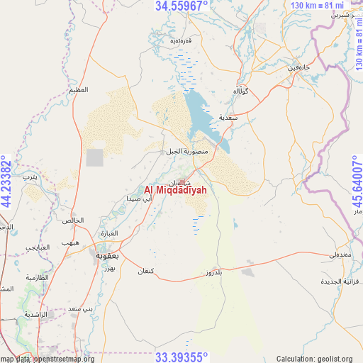
Al Miqdādīyah GPS coordinates[2]
33° 58' 42.996" North, 44° 56' 12.984" East
| Map corner | latitude | longitude |
|---|---|---|
| Upper-left | 34.55967°, | 44.23382° |
| Center: | 33.97861°, | 44.93694° |
| Lower-right: | 33.39355°, | 45.64007° |
| Map W x H: | 129.7×129.7 km | = 80.6×80.6mi |
| max Lat: | 37.22781° ⇑54.2% North |
| Al Miqdādīyah: | 33.97861° |
| min Lat: | ⇓45.8% South 29.97421° |
| min Long | Al Miqdādīyah | max Long |
| 40.28586° | 44.93694° | 48.47309° |
| W 64.8%⇐ | ⇒35.2% E |
Elevation
Elevation of Al Miqdādīyah is 60 m = 197 ft, and this is 233 m = 764 ft below average elevation for this country.
| Max E: |
1316 m = 4318 ft | 57.7% |
| Avg. | 293 m = 961 ft | |
| Al Miqdādīyah | 60 m = 197 ft | |
Min E: |
1 m = 3 ft | 42.3% |
See also: Al Miqdādīyah elevation on elevation.city.
Geographical zone
Al Miqdādīyah is located in North temperate zone (between Tropic of Cancer and the Arctic Circle). Distance of this Northern Tropic circle is 1172.1 km =728.3 mi to South.| Distance of | km | miles | from Al Miqdādīyah |
|---|---|---|---|
| North Pole | 6229 | 3870.5 | to North |
| Arctic Circle | 3623.1 | 2251.3 | to North |
| Tropic Cancer | 1172.1 | 728.3 | to South |
| Equator | 3778.1 | 2347.6 | to South |


Nearby cities:
15 places around Al Miqdādīyah: (largest is in red/bold)
• Abū Ghurayb
102.2 km =63.5 mi,  222°
222°
• Ad Dujayl
66.5 km =41.3 mi,  257°
257°
• Al Khāliş
41 km =25.5 mi,  249°
249°
• Aţ Ţārmīyah
60.3 km =37.5 mi,  235°
235°
• Baghdad
86.6 km =53.8 mi,  214°
214°
• Balad
73 km =45.4 mi,  273°
273°
• Baladrūz
34 km =21.1 mi,  157°
157°
• Baqubah
39.5 km =24.5 mi,  230°
230°
• Kelar
80.3 km =49.9 mi,  25°
25°
• Khāliş
41.8 km =26 mi, 243°
• Khānaqīn
58.6 km =36.4 mi,  45°
45°
• Kifrī
79.1 km =49.2 mi,  1°
1°
• Mandalī
62.6 km =38.9 mi,  114°
114°
• Sāmarrā’
99.8 km =62 mi,  284°
284°
• Tozkhurmato
104.9 km =65.2 mi,  344°
344°
Sources, notices
• [Note1] Compared only with cities in Iraq existing in our database
• [Src1] Map data: © OpenStreetMap contributors (CC-BY-SA)
• [Src2] Other city data from geonames.org with taken over terms of usage.
• [Src3] Geographical zone / Annual Mean Temperature by Robert A. Rohde @ Wikipedia
