Kelar geodata
Kelar (Sulaymaniyah) is a seat of a second-order administrative division; located in Iraq in Asia/Baghdad (GMT+3) time zone. In our database, there are 71 cities with bigger population. Compared to other cities in Iraq, 54.9% of cities are located further ↓South; 73.2% of cities are located further ←West and 59.2% of cities have lower elevation than Kelar. Note1


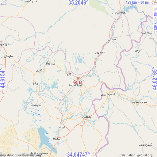
Kelar GPS coordinates[2]
34° 37' 40.98" North, 45° 19' 6.672" East
| Map corner | latitude | longitude |
|---|---|---|
| Upper-left | 35.2046°, | 44.6154° |
| Center: | 34.62805°, | 45.31852° |
| Lower-right: | 34.04747°, | 46.02165° |
| Map W x H: | 128.7×128.7 km | = 80×80mi |
| max Lat: | 37.22781° ⇑45.1% North |
| Kelar: | 34.62805° |
| min Lat: | ⇓54.9% South 29.97421° |
| min Long | Kelar | max Long |
| 40.28586° | 45.31852° | 48.47309° |
| W 73.2%⇐ | ⇒26.8% E |
Elevation
Elevation of Kelar is 216 m = 709 ft, and this is 77 m = 253 ft below average elevation for this country.
| Max E: |
1316 m = 4318 ft | 40.8% |
| Avg. | 293 m = 961 ft | |
| Kelar | 216 m = 709 ft | |
Min E: |
1 m = 3 ft | 59.2% |
See also: Iraq elevation on elevation.city.
Geographical zone
Kelar is located in North temperate zone (between Tropic of Cancer and the Arctic Circle). Distance of this Northern Tropic circle is 1244.4 km =773.2 mi to South.| Distance of | km | miles | from Kelar |
|---|---|---|---|
| North Pole | 6156.8 | 3825.7 | to North |
| Arctic Circle | 3550.9 | 2206.4 | to North |
| Tropic Cancer | 1244.4 | 773.2 | to South |
| Equator | 3850.3 | 2392.5 | to South |


Nearby cities:
15 places around Kelar: (largest is in red/bold)
• Al Khāliş
113.3 km =70.4 mi,  220°
220°
• Al Miqdādīyah
80.3 km =49.9 mi,  205°
205°
• As Sulaymānīyah
104.7 km =65.1 mi,  5°
5°
• Baladrūz
105.9 km =65.8 mi,  192°
192°
• Derbendîxan
63.4 km =39.4 mi,  31°
31°
• Dāqūq
97.6 km =60.6 mi,  305°
305°
• Jamjamāl
109.9 km =68.3 mi,  336°
336°
• Khānaqīn
31.8 km =19.8 mi,  168°
168°
• Kifrī
33.4 km =20.8 mi,  281°
281°
• Mandalī
100.2 km =62.3 mi, 167°
• Qeredagh
75.8 km =47.1 mi,  4°
4°
• Seyid Sadiq
94.8 km =58.9 mi, 31°
• Tozkhurmato
69 km =42.9 mi,  294°
294°
• Ḩalabjah
86.3 km =53.6 mi,  44°
44°
• Ḩalabjah al Jadīdah
84 km =52.2 mi,  23°
23°
Sources, notices
• [Note1] Compared only with cities in Iraq existing in our database
• [Src1] Map data: © OpenStreetMap contributors (CC-BY-SA)
• [Src2] Other city data from geonames.org with taken over terms of usage.
• [Src3] Geographical zone / Annual Mean Temperature by Robert A. Rohde @ Wikipedia
