Qeredagh geodata
Qeredagh (Sulaymaniyah) is a seat of a second-order administrative division; located in Iraq in Asia/Baghdad (GMT+3) time zone. In our database, there are 71 cities with bigger population. Compared to other cities in Iraq, 61.3% of cities are located further ↓South; 73.9% of cities are located further ←West and 90.8% of cities have lower elevation than Qeredagh. Note1


Qeredagh GPS coordinates[2]
35° 18' 25.56" North, 45° 23' 26.16" East
| Map corner | latitude | longitude |
|---|---|---|
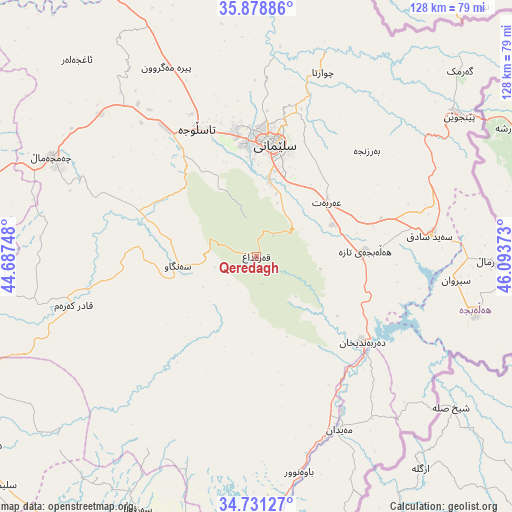
| Upper-left | 35.87886°, | 44.68748° |
| Center: | 35.3071°, | 45.3906° |
| Lower-right: | 34.73127°, | 46.09373° |
| Map W x H: | 127.6×127.6 km | = 79.3×79.3mi |
| max Lat: | 37.22781° ⇑38.7% North |
| Qeredagh: | 35.3071° |
| min Lat: | ⇓61.3% South 29.97421° |
| min Long | Qeredagh | max Long |
| 40.28586° | 45.3906° | 48.47309° |
| W 73.9%⇐ | ⇒26.1% E |
Elevation
Elevation of Qeredagh is 879 m = 2884 ft, and this is 586 m = 1923 ft above average elevation for this country.
| Max E: |
1316 m = 4318 ft | 9.2% |
| Qeredagh | 879 m 2884 ft | |
| Avg. | 293 m = 961 ft | |
Min E: |
1 m = 3 ft | 90.8% |
See also: Iraq elevation on elevation.city.
Geographical zone
Qeredagh is located in North temperate zone (between Tropic of Cancer and the Arctic Circle). Distance of this Northern Tropic circle is 1319.9 km =820.1 mi to South.| Distance of | km | miles | from Qeredagh |
|---|---|---|---|
| North Pole | 6081.3 | 3778.7 | to North |
| Arctic Circle | 3475.4 | 2159.5 | to North |
| Tropic Cancer | 1319.9 | 820.1 | to South |
| Equator | 3925.8 | 2439.4 | to South |


Nearby cities:
15 places around Qeredagh: (largest is in red/bold)
• As Sulaymānīyah
28.9 km =18 mi,  7°
7°
• Baynjiwayn
61.4 km =38.2 mi,  55°
55°
• Chwarta
48.8 km =30.3 mi,  19°
19°
• Derbendîxan
34.5 km =21.4 mi,  128°
128°
• Dukan
79.2 km =49.2 mi,  330°
330°
• Dāqūq
87.5 km =54.4 mi,  257°
257°
• Hayraw
91.6 km =56.9 mi,  353°
353°
• Jamjamāl
56.3 km =35 mi,  296°
296°
• Kelar
75.8 km =47.1 mi,  184°
184°
• Kifrī
79 km =49.1 mi,  209°
209°
• Mawet
66.1 km =41.1 mi,  1°
1°
• Seyid Sadiq
43.5 km =27 mi,  83°
83°
• Tozkhurmato
83.2 km =51.7 mi,  235°
235°
• Ḩalabjah
56 km =34.8 mi,  104°
104°
• Ḩalabjah al Jadīdah
27.2 km =16.9 mi,  87°
87°
Sources, notices
• [Note1] Compared only with cities in Iraq existing in our database
• [Src1] Map data: © OpenStreetMap contributors (CC-BY-SA)
• [Src2] Other city data from geonames.org with taken over terms of usage.
• [Src3] Geographical zone / Annual Mean Temperature by Robert A. Rohde @ Wikipedia
