Tonekābon geodata
Tonekābon (Māzandarān) is a seat of a second-order administrative division; located in Iran in Asia/Tehran (GMT+3.5) time zone. With population of 37,501 people, there are 159 cities with bigger population in this country. Compared to other cities in Iran, 80.5% of cities are located further ↓South; 54% of cities are located further →East and 97.3% of cities have higher elevation than Tonekābon. Note1


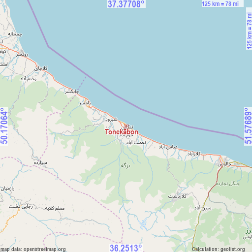
Tonekābon GPS coordinates[2]
36° 48' 58.536" North, 50° 52' 25.536" East
| Map corner | latitude | longitude |
|---|---|---|
| Upper-left | 37.37708°, | 50.17064° |
| Center: | 36.81626°, | 50.87376° |
| Lower-right: | 36.2513°, | 51.57689° |
| Map W x H: | 125.2×125.2 km | = 77.8×77.8mi |
| max Lat: | 39.6482° ⇑19.5% North |
| Tonekābon: | 36.81626° |
| min Lat: | ⇓80.5% South 25.2919° |
| min Long | Tonekābon | max Long |
| 44.38416° | 50.87376° | 61.9965° |
| W 46%⇐ | ⇒54% E |
Elevation
Elevation of Tonekābon is -15 m = -49 ft, and this is 1064 m = 3491 ft below average elevation for this country.
| Max E: |
2564 m = 8412 ft | 97.3% |
| Avg. | 1049 m = 3442 ft | |
| Tonekābon | -15 m = -49 ft | |
Min E: |
-24 m = -79 ft | 2.7% |
See also: Iran elevation on elevation.city.
Geographical zone
Tonekābon is located in North temperate zone (between Tropic of Cancer and the Arctic Circle). Distance of this Northern Tropic circle is 1487.7 km =924.4 mi to South.| Distance of | km | miles | from Tonekābon |
|---|---|---|---|
| North Pole | 5913.5 | 3674.5 | to North |
| Arctic Circle | 3307.6 | 2055.2 | to North |
| Tropic Cancer | 1487.7 | 924.4 | to South |
| Equator | 4093.6 | 2543.6 | to South |


Nearby cities:
15 places around Tonekābon: (largest is in red/bold)
• Amlash
68.5 km =42.6 mi,  297°
297°
• Chālūs
51.9 km =32.2 mi,  110°
110°
• Hashtgerd
96.6 km =60 mi,  190°
190°
• Langarūd
76.7 km =47.7 mi, 303°
• Lāhījān
88 km =54.7 mi, 299°
• Nashtārūd
15.2 km =9.4 mi,  118°
118°
• Nowshahr
58.5 km =36.4 mi, 108°
• Rāmsar
23 km =14.3 mi, 299°
• Rūdsar
62.8 km =39 mi, 304°
• Shahrak
72 km =44.7 mi, 187°
• Sīāhkal
96.6 km =60 mi,  292°
292°
• Ābyek
88.2 km =54.8 mi,  199°
199°
• Ābyek
91.6 km =56.9 mi, 199°
• Āstāneh-ye Ashrafīyeh
96.4 km =59.9 mi, 301°
• ‘Abbāsābād
22.9 km =14.2 mi, 115°
Sources, notices
• [Note1] Compared only with cities in Iran existing in our database
• [Src1] Map data: © OpenStreetMap contributors (CC-BY-SA)
• [Src2] Other city data from geonames.org with taken over terms of usage.
• [Src3] Geographical zone / Annual Mean Temperature by Robert A. Rohde @ Wikipedia
