Nashtārūd geodata
Nashtārūd (Māzandarān) is a populated place; located in Iran in Asia/Tehran (GMT+3.5) time zone. With population of 5,837 people, there are 210 cities with bigger population in this country. Compared to other cities in Iran, 79.6% of cities are located further ↓South; 52.6% of cities are located further →East and 100% of cities have higher elevation than Nashtārūd. Note1


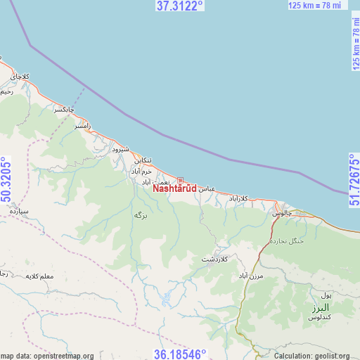
Nashtārūd GPS coordinates[2]
36° 45' 3.24" North, 51° 1' 25.032" East
| Map corner | latitude | longitude |
|---|---|---|
| Upper-left | 37.3122°, | 50.3205° |
| Center: | 36.7509°, | 51.02362° |
| Lower-right: | 36.18546°, | 51.72675° |
| Map W x H: | 125.3×125.3 km | = 77.9×77.9mi |
| max Lat: | 39.6482° ⇑20.4% North |
| Nashtārūd: | 36.7509° |
| min Lat: | ⇓79.6% South 25.2919° |
| min Long | Nashtārūd | max Long |
| 44.38416° | 51.02362° | 61.9965° |
| W 47.4%⇐ | ⇒52.6% E |
Elevation
Elevation of Nashtārūd is -24 m = -79 ft, and this is 1073 m = 3520 ft below average elevation for this country.
| Max E: |
2564 m = 8412 ft | 100% |
| Avg. | 1049 m = 3442 ft | |
| Nashtārūd | -24 m = -79 ft | |
Min E: |
-24 m = -79 ft | 0% |
See also: Iran elevation on elevation.city.
Geographical zone
Nashtārūd is located in North temperate zone (between Tropic of Cancer and the Arctic Circle). Distance of this Northern Tropic circle is 1480.4 km =919.9 mi to South.| Distance of | km | miles | from Nashtārūd |
|---|---|---|---|
| North Pole | 5920.7 | 3679 | to North |
| Arctic Circle | 3314.9 | 2059.8 | to North |
| Tropic Cancer | 1480.4 | 919.9 | to South |
| Equator | 4086.3 | 2539.1 | to South |


Nearby cities:
15 places around Nashtārūd: (largest is in red/bold)
• Amlash
83.7 km =52 mi,  297°
297°
• Chālūs
36.9 km =22.9 mi,  106°
106°
• Hashtgerd
93 km =57.8 mi,  199°
199°
• Karaj
102.1 km =63.4 mi,  181°
181°
• Langarūd
91.8 km =57 mi, 302°
• Naz̧arābād
96.2 km =59.8 mi, 202°
• Nowshahr
43.6 km =27.1 mi, 105°
• Nūr
90.7 km =56.4 mi,  102°
102°
• Rāmsar
38.2 km =23.7 mi, 299°
• Rūdsar
77.9 km =48.4 mi, 303°
• Shahrak
68 km =42.3 mi, 199°
• Tonekābon
15.2 km =9.4 mi, 298°
• Ābyek
87.1 km =54.1 mi,  209°
209°
• Ābyek
90.5 km =56.2 mi, 209°
• ‘Abbāsābād
7.8 km =4.8 mi, 109°
Sources, notices
• [Note1] Compared only with cities in Iran existing in our database
• [Src1] Map data: © OpenStreetMap contributors (CC-BY-SA)
• [Src2] Other city data from geonames.org with taken over terms of usage.
• [Src3] Geographical zone / Annual Mean Temperature by Robert A. Rohde @ Wikipedia
