Salmās geodata
Salmās (West Azerbaijan) is a seat of a second-order administrative division; located in Iran in Asia/Tehran (GMT+3.5) time zone. With population of 81,606 people, there are 82 cities with bigger population in this country. Compared to other cities in Iran, 95.2% of cities are located further ↓South; 99.5% of cities are located further →East and 63.9% of cities have lower elevation than Salmās. Note1


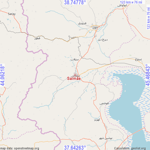
Salmās GPS coordinates[2]
38° 11' 50.28" North, 44° 45' 55.08" East
| Map corner | latitude | longitude |
|---|---|---|
| Upper-left | 38.74778°, | 44.06218° |
| Center: | 38.1973°, | 44.7653° |
| Lower-right: | 37.64263°, | 45.46843° |
| Map W x H: | 122.9×122.9 km | = 76.4×76.4mi |
| max Lat: | 39.6482° ⇑4.8% North |
| Salmās: | 38.1973° |
| min Lat: | ⇓95.2% South 25.2919° |
| min Long | Salmās | max Long |
| 44.38416° | 44.7653° | 61.9965° |
| W 0.5%⇐ | ⇒99.5% E |
Elevation
Elevation of Salmās is 1382 m = 4534 ft, and this is 333 m = 1093 ft above average elevation for this country.
| Max E: |
2564 m = 8412 ft | 36.1% |
| Salmās | 1382 m 4534 ft | |
| Avg. | 1049 m = 3442 ft | |
Min E: |
-24 m = -79 ft | 63.9% |
See also: Salmās elevation on elevation.city.
Geographical zone
Salmās is located in North temperate zone (between Tropic of Cancer and the Arctic Circle). Distance of this Northern Tropic circle is 1641.2 km =1019.8 mi to South.| Distance of | km | miles | from Salmās |
|---|---|---|---|
| North Pole | 5759.9 | 3579 | to North |
| Arctic Circle | 3154 | 1959.8 | to North |
| Tropic Cancer | 1641.2 | 1019.8 | to South |
| Equator | 4247.1 | 2639 | to South |


Nearby cities:
15 places around Salmās: (largest is in red/bold)
• Khowy
42.5 km =26.4 mi,  22°
22°
• Maku
124.3 km =77.2 mi,  347°
347°
• Marand
91.9 km =57.1 mi,  73°
73°
• Mīāb
106.2 km =66 mi,  58°
58°
• Orūmīyeh
76.7 km =47.7 mi,  159°
159°
• Oshnavīyeh
132 km =82 mi,  167°
167°
• Oskū
122.9 km =76.4 mi,  104°
104°
• Poldasht
130.7 km =81.2 mi,  11°
11°
• Qarah Ẕīā’ od Dīn
80.4 km =50 mi, 16°
• Seyah Cheshmeh
102 km =63.4 mi,  341°
341°
• Shabestar
82 km =51 mi,  91°
91°
• Showţ
113.6 km =70.6 mi,  0°
0°
• Varazqān
128.8 km =80 mi, 65°
• Āz̄arshahr
116.9 km =72.6 mi,  114°
114°
• ‘Ajab Shīr
127.4 km =79.2 mi,  128°
128°
Sources, notices
• [Note1] Compared only with cities in Iran existing in our database
• [Src1] Map data: © OpenStreetMap contributors (CC-BY-SA)
• [Src2] Other city data from geonames.org with taken over terms of usage.
• [Src3] Geographical zone / Annual Mean Temperature by Robert A. Rohde @ Wikipedia
