Mīāb geodata
Mīāb (East Azerbaijan) is a populated place; located in Iran in Asia/Tehran (GMT+3.5) time zone. With population of 611 people, there are 229 cities with bigger population in this country. Compared to other cities in Iran, 97.7% of cities are located further ↓South; 96.4% of cities are located further →East and 95.2% of cities have lower elevation than Mīāb. Note1


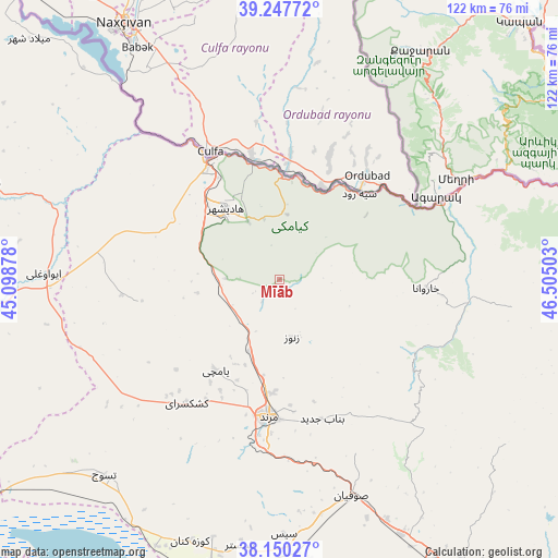
Mīāb GPS coordinates[2]
38° 42' 3.96" North, 45° 48' 6.84" East
| Map corner | latitude | longitude |
|---|---|---|
| Upper-left | 39.24772°, | 45.09878° |
| Center: | 38.7011°, | 45.8019° |
| Lower-right: | 38.15027°, | 46.50503° |
| Map W x H: | 122×122 km | = 75.8×75.8mi |
| max Lat: | 39.6482° ⇑2.3% North |
| Mīāb: | 38.7011° |
| min Lat: | ⇓97.7% South 25.2919° |
| min Long | Mīāb | max Long |
| 44.38416° | 45.8019° | 61.9965° |
| W 3.6%⇐ | ⇒96.4% E |
Elevation
Elevation of Mīāb is 2061 m = 6762 ft, and this is 1012 m = 3320 ft above average elevation for this country.
| Max E: |
2564 m = 8412 ft | 4.8% |
| Mīāb | 2061 m 6762 ft | |
| Avg. | 1049 m = 3442 ft | |
Min E: |
-24 m = -79 ft | 95.2% |
See also: Iran elevation on elevation.city.
Geographical zone
Mīāb is located in North temperate zone (between Tropic of Cancer and the Arctic Circle). Distance of this Northern Tropic circle is 1697.2 km =1054.6 mi to South.| Distance of | km | miles | from Mīāb |
|---|---|---|---|
| North Pole | 5703.9 | 3544.2 | to North |
| Arctic Circle | 3098 | 1925 | to North |
| Tropic Cancer | 1697.2 | 1054.6 | to South |
| Equator | 4303.2 | 2673.9 | to South |


Nearby cities:
15 places around Mīāb: (largest is in red/bold)
• Ahar
113 km =70.2 mi,  102°
102°
• Kaleybar
108.8 km =67.6 mi,  80°
80°
• Kandovān
108 km =67.1 mi,  158°
158°
• Khomārlū
117.7 km =73.1 mi,  64°
64°
• Khowy
75.7 km =47 mi,  257°
257°
• Marand
29.9 km =18.6 mi,  184°
184°
• Oskū
91.8 km =57 mi, 162°
• Poldasht
95.7 km =59.5 mi,  318°
318°
• Qarah Ẕīā’ od Dīn
70.5 km =43.8 mi,  287°
287°
• Salmās
106.2 km =66 mi,  238°
238°
• Shabestar
58.5 km =36.4 mi,  188°
188°
• Showţ
106.2 km =66 mi,  302°
302°
• Tabriz
81.2 km =50.5 mi,  148°
148°
• Varazqān
27.1 km =16.8 mi, 96°
• Āz̄arshahr
105.9 km =65.8 mi,  171°
171°
Sources, notices
• [Note1] Compared only with cities in Iran existing in our database
• [Src1] Map data: © OpenStreetMap contributors (CC-BY-SA)
• [Src2] Other city data from geonames.org with taken over terms of usage.
• [Src3] Geographical zone / Annual Mean Temperature by Robert A. Rohde @ Wikipedia
