Showţ geodata
Showţ (West Azerbaijan) is a seat of a second-order administrative division; located in Iran in Asia/Tehran (GMT+3.5) time zone. In our database, there are 232 cities with bigger population. Compared to other cities in Iran, 99.1% of cities are located further ↓South; 99.3% of cities are located further →East and 58.5% of cities have higher elevation than Showţ. Note1


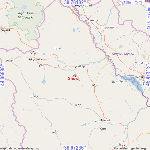
Showţ GPS coordinates[2]
39° 13' 9.12" North, 44° 46' 12" East
| Map corner | latitude | longitude |
|---|---|---|
| Upper-left | 39.76182°, | 44.06688° |
| Center: | 39.2192°, | 44.77° |
| Lower-right: | 38.67236°, | 45.47313° |
| Map W x H: | 121.1×121.1 km | = 75.2×75.2mi |
| max Lat: | 39.6482° ⇑0.9% North |
| Showţ: | 39.2192° |
| min Lat: | ⇓99.1% South 25.2919° |
| min Long | Showţ | max Long |
| 44.38416° | 44.77° | 61.9965° |
| W 0.7%⇐ | ⇒99.3% E |
Elevation
Elevation of Showţ is 994 m = 3261 ft, and this is 55 m = 180 ft below average elevation for this country.
| Max E: |
2564 m = 8412 ft | 58.5% |
| Avg. | 1049 m = 3442 ft | |
| Showţ | 994 m = 3261 ft | |
Min E: |
-24 m = -79 ft | 41.5% |
See also: Iran elevation on elevation.city.
Geographical zone
Showţ is located in North temperate zone (between Tropic of Cancer and the Arctic Circle). Distance of this Northern Tropic circle is 1754.8 km =1090.4 mi to South.| Distance of | km | miles | from Showţ |
|---|---|---|---|
| North Pole | 5646.3 | 3508.4 | to North |
| Arctic Circle | 3040.4 | 1889.2 | to North |
| Tropic Cancer | 1754.8 | 1090.4 | to South |
| Equator | 4360.8 | 2709.7 | to South |


Nearby cities:
15 places around Showţ: (largest is in red/bold)
• Khomārlū
195.3 km =121.4 mi,  92°
92°
• Khowy
76 km =47.2 mi,  168°
168°
• Maku
27.8 km =17.3 mi,  286°
286°
• Marand
123.4 km =76.7 mi,  135°
135°
• Mīāb
106.2 km =66 mi,  122°
122°
• Orūmīyeh
187.2 km =116.3 mi, 171°
• Oskū
186.7 km =116 mi, 140°
• Poldasht
29.6 km =18.4 mi,  61°
61°
• Qarah Ẕīā’ od Dīn
42.6 km =26.5 mi,  148°
148°
• Salmās
113.6 km =70.6 mi,  180°
180°
• Seyah Cheshmeh
37.4 km =23.2 mi,  242°
242°
• Shabestar
141 km =87.6 mi, 144°
• Tabriz
183.1 km =113.8 mi,  133°
133°
• Varazqān
130.9 km =81.3 mi, 117°
• Āz̄arshahr
193.4 km =120.2 mi, 147°
Sources, notices
• [Note1] Compared only with cities in Iran existing in our database
• [Src1] Map data: © OpenStreetMap contributors (CC-BY-SA)
• [Src2] Other city data from geonames.org with taken over terms of usage.
• [Src3] Geographical zone / Annual Mean Temperature by Robert A. Rohde @ Wikipedia
