Dargaz geodata
Dargaz (Razavi Khorasan) is a seat of a second-order administrative division; located in Iran in Asia/Tehran (GMT+3.5) time zone. In our database, there are 232 cities with bigger population. Compared to other cities in Iran, 90.7% of cities are located further ↓South; 92.1% of cities are located further ←West and 74.1% of cities have higher elevation than Dargaz. Note1


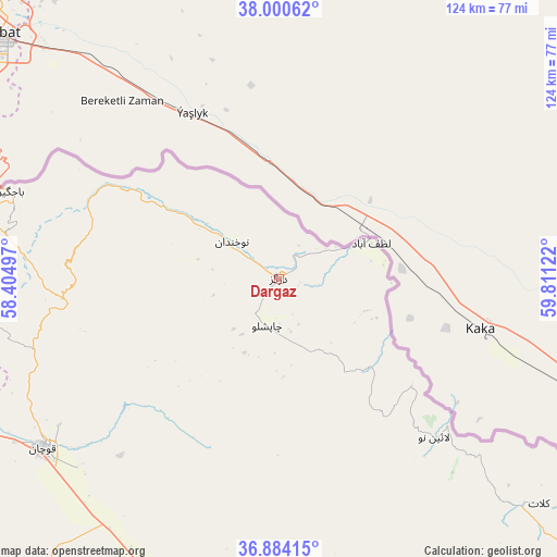
Dargaz GPS coordinates[2]
37° 26' 40.092" North, 59° 6' 29.124" East
| Map corner | latitude | longitude |
|---|---|---|
| Upper-left | 38.00062°, | 58.40497° |
| Center: | 37.44447°, | 59.10809° |
| Lower-right: | 36.88415°, | 59.81122° |
| Map W x H: | 124.1×124.1 km | = 77.1×77.1mi |
| max Lat: | 39.6482° ⇑9.3% North |
| Dargaz: | 37.44447° |
| min Lat: | ⇓90.7% South 25.2919° |
| min Long | Dargaz | max Long |
| 44.38416° | 59.10809° | 61.9965° |
| W 92.1%⇐ | ⇒7.9% E |
Elevation
Elevation of Dargaz is 476 m = 1562 ft, and this is 573 m = 1880 ft below average elevation for this country.
| Max E: |
2564 m = 8412 ft | 74.1% |
| Avg. | 1049 m = 3442 ft | |
| Dargaz | 476 m = 1562 ft | |
Min E: |
-24 m = -79 ft | 25.9% |
See also: Iran elevation on elevation.city.
Geographical zone
Dargaz is located in North temperate zone (between Tropic of Cancer and the Arctic Circle). Distance of this Northern Tropic circle is 1557.5 km =967.8 mi to South.| Distance of | km | miles | from Dargaz |
|---|---|---|---|
| North Pole | 5843.6 | 3631 | to North |
| Arctic Circle | 3237.7 | 2011.8 | to North |
| Tropic Cancer | 1557.5 | 967.8 | to South |
| Equator | 4163.4 | 2587 | to South |


Nearby cities:
15 places around Dargaz: (largest is in red/bold)
• Bojnūrd
157.1 km =97.6 mi,  271°
271°
• Bozghān
136.9 km =85.1 mi,  199°
199°
• Chenārān
88.8 km =55.2 mi,  179°
179°
• Esfarāyen
147.2 km =91.5 mi,  253°
253°
• Fārūj
82.1 km =51 mi, 253°
• Kalāt-e Nāderī
76.6 km =47.6 mi,  130°
130°
• Mashhad
132 km =82 mi,  161°
161°
• Neqāb
170.6 km =106 mi,  241°
241°
• Neyshābūr
139.7 km =86.8 mi,  191°
191°
• Qūchān
65 km =40.4 mi,  234°
234°
• Sabzevar
186.7 km =116 mi,  222°
222°
• Shīrvān
104.2 km =64.7 mi, 267°
• Solţānābād
149.8 km =93.1 mi, 219°
• Āshkhāneh
193.3 km =120.1 mi, 273°
• Ţorqabeh
128.3 km =79.7 mi,  169°
169°
Sources, notices
• [Note1] Compared only with cities in Iran existing in our database
• [Src1] Map data: © OpenStreetMap contributors (CC-BY-SA)
• [Src2] Other city data from geonames.org with taken over terms of usage.
• [Src3] Geographical zone / Annual Mean Temperature by Robert A. Rohde @ Wikipedia
