Andīmeshk geodata
Andīmeshk (Khuzestan) is a seat of a second-order administrative division; located in Iran in Asia/Tehran (GMT+3.5) time zone. In our database, there are 232 cities with bigger population. Compared to other cities in Iran, 65.8% of cities are located further ↑North; 78.7% of cities are located further →East and 80.7% of cities have higher elevation than Andīmeshk. Note1


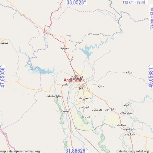
Andīmeshk GPS coordinates[2]
32° 27' 41.4" North, 48° 21' 13.248" East
| Map corner | latitude | longitude |
|---|---|---|
| Upper-left | 33.0528°, | 47.65056° |
| Center: | 32.4615°, | 48.35368° |
| Lower-right: | 31.86629°, | 49.05681° |
| Map W x H: | 131.9×131.9 km | = 82×82mi |
| max Lat: | 39.6482° ⇑65.8% North |
| Andīmeshk: | 32.4615° |
| min Lat: | ⇓34.2% South 25.2919° |
| min Long | Andīmeshk | max Long |
| 44.38416° | 48.35368° | 61.9965° |
| W 21.3%⇐ | ⇒78.7% E |
Elevation
Elevation of Andīmeshk is 147 m = 482 ft, and this is 902 m = 2959 ft below average elevation for this country.
| Max E: |
2564 m = 8412 ft | 80.7% |
| Avg. | 1049 m = 3442 ft | |
| Andīmeshk | 147 m = 482 ft | |
Min E: |
-24 m = -79 ft | 19.3% |
See also: Iran elevation on elevation.city.
Geographical zone
Andīmeshk is located in North temperate zone (between Tropic of Cancer and the Arctic Circle). Distance of this Northern Tropic circle is 1003.5 km =623.5 mi to South.| Distance of | km | miles | from Andīmeshk |
|---|---|---|---|
| North Pole | 6397.7 | 3975.3 | to North |
| Arctic Circle | 3791.8 | 2356.1 | to North |
| Tropic Cancer | 1003.5 | 623.5 | to South |
| Equator | 3609.4 | 2242.8 | to South |


Nearby cities:
15 places around Andīmeshk: (largest is in red/bold)
• Dasht-e Lati
71 km =44.1 mi,  101°
101°
• Dehlorān
105 km =65.2 mi,  284°
284°
• Dezful
10.2 km =6.3 mi,  151°
151°
• Hoveyzeh
114.2 km =71 mi,  193°
193°
• Khorramabad
114.1 km =70.9 mi,  0°
0°
• Masjed Soleymān
106.8 km =66.4 mi,  123°
123°
• Mollās̄ānī
109.6 km =68.1 mi, 152°
• Poldokhtar
97.6 km =60.6 mi,  321°
321°
• Qal‘eh-ye Khvājeh
106.4 km =66.1 mi,  105°
105°
• Shahrak-e Kūlūrī
16.3 km =10.1 mi,  137°
137°
• Shūsh
31.5 km =19.6 mi,  199°
199°
• Shūshtar
65.3 km =40.6 mi,  134°
134°
• Sūsangerd
101 km =62.8 mi, 188°
• Vasīān
117.9 km =73.3 mi,  346°
346°
• Ābdānān
105.4 km =65.5 mi,  304°
304°
Sources, notices
• [Note1] Compared only with cities in Iran existing in our database
• [Src1] Map data: © OpenStreetMap contributors (CC-BY-SA)
• [Src2] Other city data from geonames.org with taken over terms of usage.
• [Src3] Geographical zone / Annual Mean Temperature by Robert A. Rohde @ Wikipedia
