Dasht-e Lati geodata
Dasht-e Lati (Khuzestan) is a seat of a second-order administrative division; located in Iran in Asia/Tehran (GMT+3.5) time zone. In our database, there are 232 cities with bigger population. Compared to other cities in Iran, 66.9% of cities are located further ↑North; 71% of cities are located further →East and 76.2% of cities have higher elevation than Dasht-e Lati. Note1


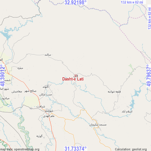
Dasht-e Lati GPS coordinates[2]
32° 19' 47.316" North, 49° 5' 35.664" East
| Map corner | latitude | longitude |
|---|---|---|
| Upper-left | 32.92198°, | 48.39012° |
| Center: | 32.32981°, | 49.09324° |
| Lower-right: | 31.73374°, | 49.79637° |
| Map W x H: | 132.1×132.1 km | = 82.1×82.1mi |
| max Lat: | 39.6482° ⇑66.9% North |
| Dasht-e Lati: | 32.32981° |
| min Lat: | ⇓33.1% South 25.2919° |
| min Long | Dasht-e Lati | max Long |
| 44.38416° | 49.09324° | 61.9965° |
| W 29%⇐ | ⇒71% E |
Elevation
Elevation of Dasht-e Lati is 381 m = 1250 ft, and this is 668 m = 2192 ft below average elevation for this country.
| Max E: |
2564 m = 8412 ft | 76.2% |
| Avg. | 1049 m = 3442 ft | |
| Dasht-e Lati | 381 m = 1250 ft | |
Min E: |
-24 m = -79 ft | 23.8% |
See also: Iran elevation on elevation.city.
Geographical zone
Dasht-e Lati is located in North temperate zone (between Tropic of Cancer and the Arctic Circle). Distance of this Northern Tropic circle is 988.8 km =614.4 mi to South.| Distance of | km | miles | from Dasht-e Lati |
|---|---|---|---|
| North Pole | 6412.3 | 3984.4 | to North |
| Arctic Circle | 3806.4 | 2365.2 | to North |
| Tropic Cancer | 988.8 | 614.4 | to South |
| Equator | 3594.7 | 2233.6 | to South |


Nearby cities:
15 places around Dasht-e Lati: (largest is in red/bold)
• Ahvaz
118.8 km =73.8 mi,  198°
198°
• Andīmeshk
71 km =44.1 mi,  281°
281°
• Bāgh-e Malek
116.7 km =72.5 mi,  140°
140°
• Chelgard
97.8 km =60.8 mi,  81°
81°
• Dezful
64.8 km =40.3 mi, 275°
• Fareydūnshahr
117.8 km =73.2 mi,  54°
54°
• Haftkel
106.5 km =66.2 mi,  157°
157°
• Masjed Soleymān
48 km =29.8 mi, 155°
• Mollās̄ānī
85.1 km =52.9 mi,  193°
193°
• Qal‘eh-ye Khvājeh
35.8 km =22.2 mi,  112°
112°
• Shahrak-e Kūlūrī
58.5 km =36.4 mi,  272°
272°
• Shūsh
81.3 km =50.5 mi,  259°
259°
• Shūshtar
38.7 km =24 mi,  216°
216°
• Sūsangerd
120.5 km =74.9 mi,  225°
225°
• sedeyen-e Yek
110.7 km =68.8 mi, 193°
Sources, notices
• [Note1] Compared only with cities in Iran existing in our database
• [Src1] Map data: © OpenStreetMap contributors (CC-BY-SA)
• [Src2] Other city data from geonames.org with taken over terms of usage.
• [Src3] Geographical zone / Annual Mean Temperature by Robert A. Rohde @ Wikipedia
