Shingū geodata
Shingū (Wakayama) is a seat of a second-order administrative division; located in Japan in Asia/Tokyo (GMT+9) time zone. With population of 31,619 people, there are 532 cities with bigger population in this country. Compared to other cities in Japan, 82.8% of cities are located further ↑North; 61.7% of cities are located further →East and 81.8% of cities have higher elevation than Shingū. Note1


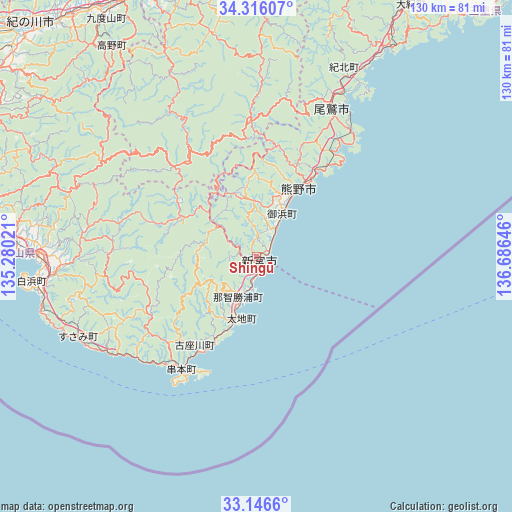
Shingū GPS coordinates[2]
33° 43' 59.988" North, 135° 58' 59.988" East
| Map corner | latitude | longitude |
|---|---|---|
| Upper-left | 34.31607°, | 135.28021° |
| Center: | 33.73333°, | 135.98333° |
| Lower-right: | 33.1466°, | 136.68646° |
| Map W x H: | 130×130 km | = 80.8×80.8mi |
| max Lat: | 45.40944° ⇑82.8% North |
| Shingū: | 33.73333° |
| min Lat: | ⇓17.2% South 24.34478° |
| min Long | Shingū | max Long |
| 123° | 135.98333° | 145.575° |
| W 38.3%⇐ | ⇒61.7% E |
Elevation
Elevation of Shingū is 7 m = 23 ft, and this is 77.6 m = 255 ft below average elevation for this country.
| Max E: |
1086 m = 3563 ft | 81.8% |
| Avg. | 84.6 m = 278 ft | |
| Shingū | 7 m = 23 ft | |
Min E: |
-2 m = -7 ft | 18.2% |
See also: Japan elevation on elevation.city.
Geographical zone
Shingū is located in North temperate zone (between Tropic of Cancer and the Arctic Circle). Distance of this Northern Tropic circle is 1144.9 km =711.4 mi to South.| Distance of | km | miles | from Shingū |
|---|---|---|---|
| North Pole | 6256.3 | 3887.5 | to North |
| Arctic Circle | 3650.4 | 2268.3 | to North |
| Tropic Cancer | 1144.9 | 711.4 | to South |
| Equator | 3750.8 | 2330.6 | to South |


Nearby cities:
15 places around Shingū: (largest is in red/bold)
• Gobō
77 km =47.8 mi,  282°
282°
• Gojō
73.4 km =45.6 mi,  339°
339°
• Gose
82.9 km =51.5 mi, 343°
• Hashimoto
73.1 km =45.4 mi,  332°
332°
• Iwade
84.1 km =52.3 mi,  313°
313°
• Kainan
84.9 km =52.8 mi,  303°
303°
• Kihoku
62.2 km =38.6 mi,  31°
31°
• Kinokawa
79.7 km =49.5 mi,  318°
318°
• Kumano
22.9 km =14.2 mi, 34°
• Kōya
62.9 km =39.1 mi, 328°
• Owase
42.1 km =26.2 mi, 28°
• Sakurai
86.1 km =53.5 mi,  351°
351°
• Tanabe
57 km =35.4 mi,  270°
270°
• Yoshino-chō
74.6 km =46.4 mi, 351°
• Ōuda
81.7 km =50.8 mi,  356°
356°
Sources, notices
• [Note1] Compared only with cities in Japan existing in our database
• [Src1] Map data: © OpenStreetMap contributors (CC-BY-SA)
• [Src2] Other city data from geonames.org with taken over terms of usage.
• [Src3] Geographical zone / Annual Mean Temperature by Robert A. Rohde @ Wikipedia
